
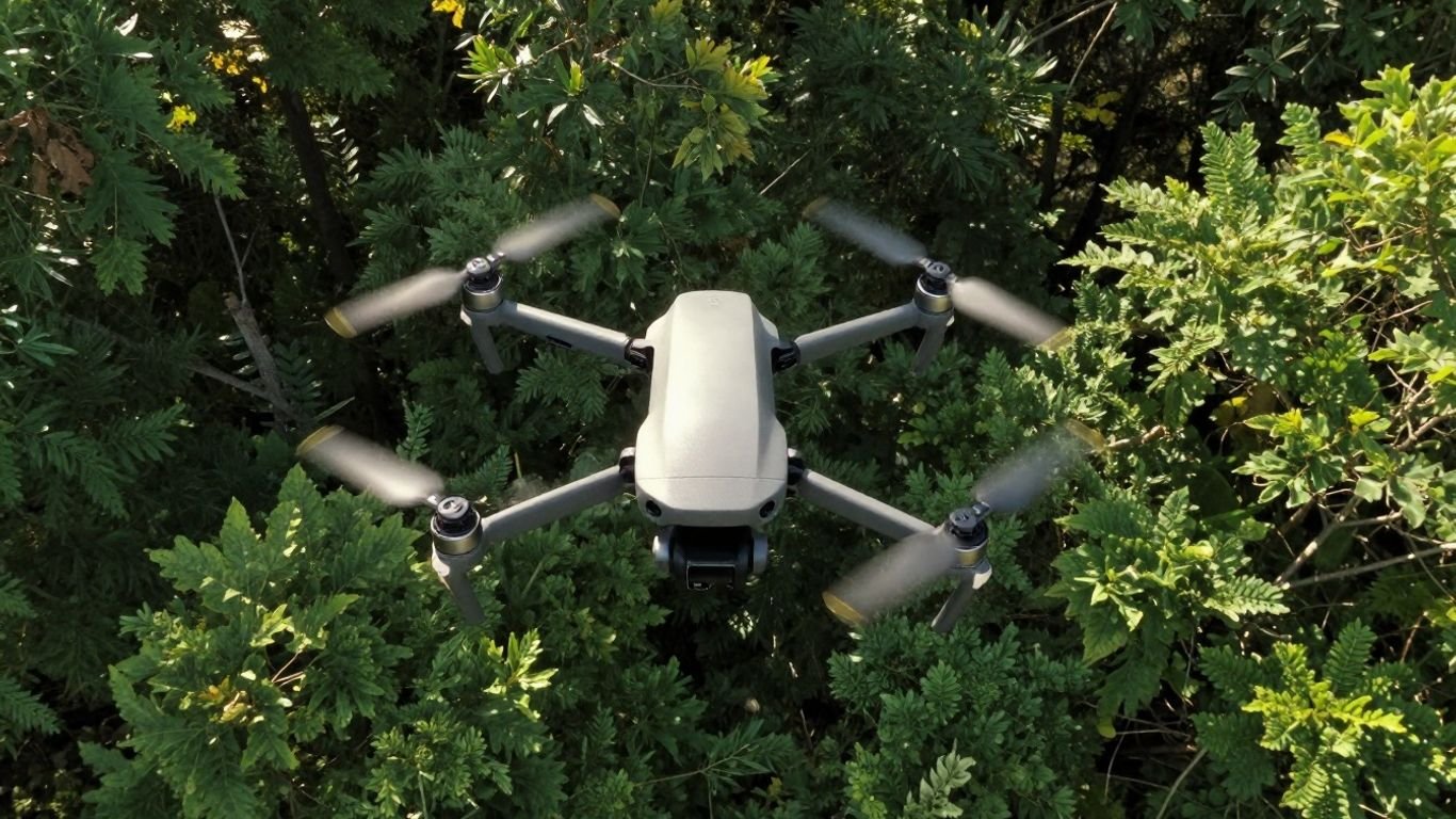
Drones: Our New Green Eyes in the Sky
You know, those little flying gadgets, drones, are really becoming a big deal. They used to be just for hobbyists or for taking cool aerial photos. But now, they’re showing up everywhere, doing all sorts of important jobs. We’re talking about them helping to spot wildfires before they get out of control, keeping an eye on our forests and wildlife, and even helping us clean up the environment. It’s pretty amazing how much they can do, and it’s changing how we look at environmental monitoring.
Key Takeaways
- Drones are revolutionizing wildfire detection with advanced sensors that can spot fires early, even in tough conditions.
- These flying machines are vital for conservation, helping track animals, monitor habitats, and map the health of our ecosystems.
- Drones are being used to check water quality, assess damage after disasters, and even help with planting trees for reforestation.
- New drone technology includes better cameras, longer flight times, and smart AI that helps analyze all the collected data.
- While useful, there are still rules and ethical questions to sort out for drones working in environmental jobs.
Drones: Our New Green Eyes in the Sky
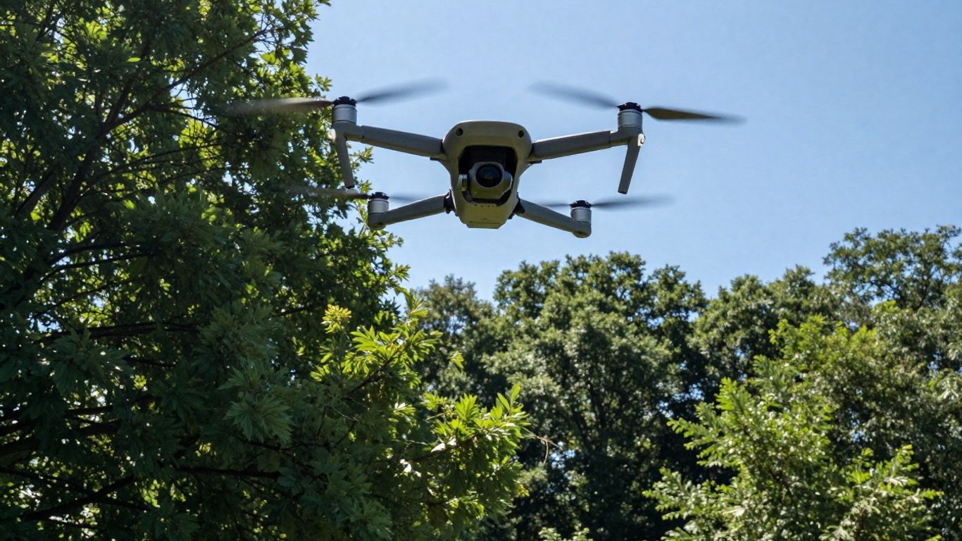
It feels like just yesterday we were marveling at the idea of flying robots, and now, drones are becoming a pretty common sight. But beyond the cool factor, these aerial gadgets are quietly becoming indispensable tools for keeping our planet healthy. Think of them as our new, high-tech eyes, constantly watching over forests, wildlife, and even our air and water. They’re not just for taking pretty pictures anymore; they’re actively helping us understand and protect the environment in ways we couldn’t before.
Revolutionizing Wildfire Detection
Wildfires are a huge problem, especially with the climate getting wilder. Traditional methods of spotting fires can be slow, putting communities and natural habitats at serious risk. Drones are changing the game here. Equipped with special cameras, like infrared ones that can see through smoke, and even sensors that can ‘smell’ smoke from afar, these machines can spot a fire much earlier. This early warning is key. It gives firefighters a better chance to get a handle on things before they blow up into massive, uncontrollable blazes. It’s all about getting eyes on the ground, or rather, in the sky, as quickly as possible.
Early Warning Systems for Forest Fires
Imagine a drone flying over a vast forest, its sensors constantly scanning. If it detects the faintest wisp of smoke or an unusual heat signature, it immediately sends an alert. This isn’t science fiction; it’s happening now. These systems can pinpoint the exact location of a potential fire, sending GPS coordinates straight to emergency responders. This means less time spent searching and more time spent fighting the fire. It’s a proactive approach that could save countless acres of forest and prevent the kind of devastating losses we’ve seen in recent years. The goal is to catch fires when they’re small, manageable problems, not when they’re already raging infernos.
Autonomous Fire Suppression Technology
While early detection is great, some drones are being developed to do even more. There are prototypes out there, like the Silvaguard, that aren’t just for spotting fires but are designed to actually put them out. These are often small, specialized drones that can be launched quickly to tackle nascent fires. While they might not be able to handle a full-blown wildfire, they could be incredibly effective at extinguishing small, newly started blazes before they have a chance to grow. This kind of autonomous action could be a game-changer, especially in remote areas where getting ground crews there quickly is difficult. It’s about having a rapid response capability right at the source of the problem.
The sheer speed and agility of drones allow them to reach areas inaccessible to ground crews or traditional aircraft, providing critical real-time data and immediate intervention capabilities. This technological leap is reshaping how we approach environmental challenges, from spotting the first signs of a wildfire to monitoring the health of remote ecosystems.
Here’s a look at how these systems work:
- Visual Cameras: Standard cameras capture visible light, useful for spotting smoke plumes in clear conditions.
- Infrared Cameras: These detect heat signatures, allowing detection even through smoke or at night.
- Chemical Sensors: Specialized sensors can identify specific chemical compounds found in smoke, acting like an electronic nose.
- GPS and Communication: Precise location data is transmitted instantly, along with alerts, to response teams.
This technology is still evolving, but the potential is enormous. It’s about using smart tools to protect our natural world more effectively. For continuous monitoring, tethered drones offer extended flight times, which is a big plus for these kinds of applications. Learn about tethered drones.
Enhancing Environmental Monitoring Capabilities
Drones are really changing how we keep an eye on our planet. Think about it: instead of just looking at maps or relying on ground crews, we can now get a bird’s-eye view of huge areas quickly and efficiently. This is a big deal for conservation and understanding what’s happening in nature.
Aerial Surveillance for Conservation Efforts
When it comes to protecting wildlife and natural spaces, drones offer a unique advantage. They can fly over large tracts of land, giving us a broad picture of what’s going on without disturbing the environment too much. This is super helpful for spotting illegal logging, poaching activities, or even just seeing how well protected areas are holding up.
- Monitoring protected zones for unauthorized access.
- Identifying changes in land use that might harm habitats.
- Providing real-time visual data to park rangers and conservationists.
Tracking Wildlife and Habitats
Getting close to wildlife can be tricky, and sometimes, it’s just not practical to track animals over vast distances on foot. Drones equipped with special cameras can help here. They can follow herds, locate nesting sites, and map out where animals are spending their time. This information is gold for figuring out how to best protect them and their homes.
Using thermal imaging, drones can even spot animals hidden in dense foliage or active at night. This kind of remote sensing for ecological studies gives us insights we just couldn’t get before.
Mapping Ecosystem Health
Our planet’s ecosystems are complex, and keeping tabs on their health is vital. Drones can help us map out vegetation cover, identify areas suffering from drought or disease, and even measure things like water levels in remote lakes. This data helps scientists understand trends and predict potential problems before they get too serious.
Understanding the health of an ecosystem often requires looking at many different factors over time. Drones can collect a lot of this information from above, making it easier to see the big picture and how different parts of the environment are connected.
Here’s a quick look at what drones can help us monitor:
| Environmental Factor | What Drones Can Measure |
|---|---|
| Vegetation | Health, density, type |
| Water Bodies | Extent, temperature, quality |
| Soil | Moisture, erosion signs |
| Wildlife | Presence, movement patterns |
| Air Quality | Pollutant levels (with sensors) |
Drones in Action: Environmental Applications
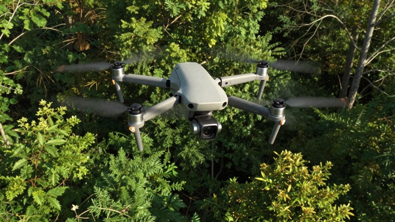
It’s pretty amazing how quickly drone technology for conservation is becoming a standard part of how we look after our planet. These unmanned aircraft environmental data collectors are no longer just for hobbyists; they’re serious tools for serious work. We’re seeing them used in all sorts of ways to keep an eye on things, from tracking down illegal logging to checking the health of coral reefs.
Monitoring Pollution and Water Quality
Keeping our water clean is a big deal, and drones are helping us do just that. They can fly over rivers, lakes, and coastlines, taking samples or using special sensors to detect pollutants. This gives us a much clearer picture of what’s going on without having to send boats or people out everywhere. It’s a faster, safer way to get the information we need.
- Detecting chemical spills: Drones equipped with sensors can quickly identify the presence and spread of harmful chemicals in water bodies.
- Measuring water temperature and pH: These readings are important for understanding aquatic ecosystems and can be gathered efficiently from the air.
- Mapping algal blooms: Identifying and tracking harmful algal blooms helps authorities respond before they cause widespread damage.
- Assessing sediment levels: Drones can help monitor how much sediment is in waterways, which impacts water clarity and aquatic life.
Assessing Damage from Natural Disasters
When a hurricane hits or an earthquake strikes, getting a quick look at the damage is vital for rescue efforts and rebuilding. Drones are perfect for this. They can fly over affected areas, even those that are hard to reach on the ground, and send back high-resolution images and videos. This helps emergency responders see where help is needed most and how bad the situation is. This rapid assessment capability is a game-changer in disaster response.
Supporting Reforestation Projects
Planting trees is important, but so is knowing where to plant them and how they’re growing. Drones are being used to map out areas that need reforestation and even to help with the planting itself. Some drones can carry seeds or small saplings, dropping them in precise locations. This makes the process more efficient and helps get forests back on their feet faster. Using drones for wildlife tracking is also becoming more common, helping us understand animal movements and habitat use, which is key for conservation planning.
The ability to gather detailed aerial environmental surveys from drones means we can make better decisions about conservation and resource management. It’s like having a pair of super-powered eyes that can see things we couldn’t before, helping us protect natural spaces and the creatures that live in them. By 2026, drones will feature advanced AI for autonomous flight planning and data analysis, alongside next-generation mapping and processing for real-time 3D models. Expect enhanced sensors for complex industrial tasks and expanded Beyond Visual Line of Sight (BVLOS) operations, enabling one pilot to manage multiple drones.
These applications show just how versatile drone technology is. From monitoring the smallest water pollutant to assessing the largest disaster zone, these flying machines are becoming indispensable allies in our efforts to understand and protect the environment.
The Technology Behind Environmental Drones
So, what makes these environmental drones tick? It’s not just about strapping a camera to a remote-controlled toy. We’re talking about some pretty sophisticated tech that allows them to do their jobs effectively.
Advanced Sensor Integration
These drones are equipped with a whole suite of sensors, kind of like giving them super-senses. You’ve got your standard visual cameras, sure, but they also pack infrared cameras that can see heat signatures, even through smoke or at night. Then there are chemical sensors, which are basically like a drone’s nose, sniffing out specific gases or particles in the air. This multi-sensor approach means they can gather a much richer picture of what’s going on, whether it’s spotting a tiny ember in a dry forest or detecting subtle changes in air quality. It’s about getting more data, from more angles, all at once.
Long-Duration Flight and Data Collection
One of the biggest hurdles for drones has always been how long they can stay in the air. Early models had pretty short flight times, meaning they had to keep coming back to base to recharge or swap batteries. But the tech is improving. We’re seeing drones designed for longer missions, sometimes using more efficient battery systems or even solar panels. This allows them to cover larger areas and collect data for extended periods, which is a big deal for things like monitoring vast conservation areas or tracking the spread of a wildfire over many hours. Think about Industry Drones and their focus on efficient data collection; that’s the kind of progress we’re talking about.
AI and Machine Learning for Analysis
Collecting all this data is one thing, but making sense of it is another. That’s where artificial intelligence (AI) and machine learning come in. These systems can process the massive amounts of information gathered by the sensors much faster than a human could. For example, AI can be trained to automatically identify specific types of plants, spot signs of disease in a forest canopy, or even detect the heat signature of a new fire before it becomes visible to the naked eye. It helps sort through the noise and find the important stuff, making the drone’s findings more actionable.
The sheer volume of data collected by environmental drones can be overwhelming. Without smart analysis tools, much of this information might go unused. AI and machine learning are key to turning raw sensor readings into meaningful insights that can guide conservation efforts and environmental protection.
Here’s a quick look at some common sensor types:
- Visual Cameras: Standard for capturing images and video.
- Thermal/Infrared Cameras: Detect heat, useful for spotting fires or wildlife.
- Gas Sensors: Identify specific airborne chemicals or pollutants.
- Lidar: Uses lasers to create detailed 3D maps of terrain and vegetation.
- Multispectral/Hyperspectral Cameras: Capture light beyond the visible spectrum, revealing plant health and soil conditions.
Challenges and Future of Drones in Ecology
So, we’ve talked a lot about how cool drones are for watching over nature and helping out with environmental stuff. But, like anything new and exciting, it’s not all smooth sailing. There are definitely some hurdles we need to jump over before these flying gadgets become a regular part of our conservation toolkit.
Regulatory Frameworks for Environmental Flights
First off, figuring out the rules of the road is a big one. Right now, it can be a bit of a maze trying to get permission to fly drones for environmental work, especially in sensitive areas. Different places have different rules, and sometimes it feels like the regulations haven’t quite caught up with the technology. This patchwork of rules can slow down important research and monitoring efforts. We need clearer guidelines that make sense for both drone operators and the environments they’re studying. It’s like trying to play a game where the rules keep changing.
Data Management and Accessibility
Then there’s the sheer amount of data these drones collect. Think about it: high-resolution photos, sensor readings, video footage – it all adds up fast. Getting that data back to base can be tricky, especially if you’re out in the middle of nowhere with spotty internet. Once you have it, organizing, storing, and actually using all that information is another challenge. We need better systems to handle this data flood so scientists can actually make sense of it and use it to make decisions. It’s no good having all this information if it just sits on a hard drive, right?
Ethical Considerations in Drone Deployment
Beyond the technical stuff, we also have to think about the ethics. Drones can be noisy, and their presence can disturb wildlife. Imagine being a bird trying to nest and suddenly there’s a buzzing machine overhead. We’ve seen how drone noise and shadows can be a problem in sensitive areas [22de]. Plus, there’s the whole privacy thing. While we’re using them for good, we need to make sure they aren’t being used in ways that intrude on people or wildlife. It’s a balancing act, for sure. We need to be mindful of the impact these machines have on the natural world and the people who live near it.
Here are some things we need to keep in mind:
- Wildlife Disturbance: Minimizing noise and visual presence to avoid stressing animals.
- Data Privacy: Ensuring collected data doesn’t infringe on personal privacy.
- Community Impact: Engaging with local communities about drone use and addressing concerns.
The future of drones in ecology hinges on our ability to overcome these practical and ethical challenges. It’s not just about building better drones; it’s about building smarter systems and thoughtful policies around their use. We’re still figuring out the best way to integrate these tools without causing more problems than we solve. It’s a work in progress, but the potential benefits are huge if we get it right.
The Sky’s the Limit, But We Need to Be Smart About It
So, drones are definitely here to stay, and they’re doing some pretty amazing things, from helping firefighters spot trouble early to giving police a better view of what’s going on. It’s like we’ve got these new eyes up in the sky, watching out for us in ways we couldn’t before. But, you know, it’s not all sunshine and clear skies.
We’ve also heard about the not-so-great stuff, like drones being used for smuggling or just generally being a nuisance. It’s a real balancing act. We need to figure out how to use these cool tools for good while making sure they don’t cause more problems than they solve. It’s going to take some smart rules and a bit of common sense to make sure these flying gadgets are truly a benefit to everyone.
Frequently Asked Questions
How are drones helping to spot wildfires earlier?
Drones are being equipped with special cameras, like infrared ones that can see through smoke, and sensors that can ‘smell’ smoke. They can fly over large areas, especially when it’s dry or windy, and send back real-time information about any fires they see. This helps firefighters know exactly where a fire is and how big it is, much faster than before.
Can drones actually put out fires?
Some drones are being developed to do just that! Imagine a drone that can fly to a small, new fire and drop a special mix to put it out. It’s still a work in progress, but the idea is to stop fires when they are small and easier to control, before they become huge problems.
Besides fires, what else are drones used for in nature?
Drones are like nature’s new eyes. They can help conservationists watch over animals and their homes, map out how healthy forests and other natural places are, and even check on pollution in water and air. They give us a bird’s-eye view to better protect our planet.
How do drones help after a disaster like an earthquake or flood?
When bad things happen, drones can quickly fly over the damaged areas. They can show rescuers where people might be trapped, map out the damage so help can be sent to the right places, and help us understand how bad the situation is without putting people in danger.
What kind of technology makes these environmental drones so smart?
These drones use advanced tools called sensors that can detect different things like heat, smoke, or air quality. They can fly for a long time and collect lots of information. Plus, they use smart computer programs, like AI, to help them understand the data they collect, like identifying a fire or spotting a certain type of animal.
Are there rules for flying drones for environmental work?
Yes, there are rules! Drone pilots need to follow safety guidelines, like keeping the drone in sight and not flying too high or too close to people. As drone technology gets better, the rules are also changing to make sure they are used safely and responsibly, especially when they are helping us protect the environment.