Black Hornet Nano reconnaissance: capabilities, uses, and operational considerations

Key Takeaways
Nano reconnaissance is most useful when it answers a specific operational question without adding unnecessary burden to the team using it.
- A nano unmanned aircraft can provide nearby visual information while remaining relatively easy to carry and deploy.
- Electro-optical and infrared sensors support observation across changing light conditions.
- Mission planning must account for routes, communications, battery life, weather, and recovery.
- Live feeds become valuable only when operators can interpret and share them quickly.
- Privacy, airspace control, safety, and accountability remain essential in every deployment.
Understanding the Black Hornet nano reconnaissance system
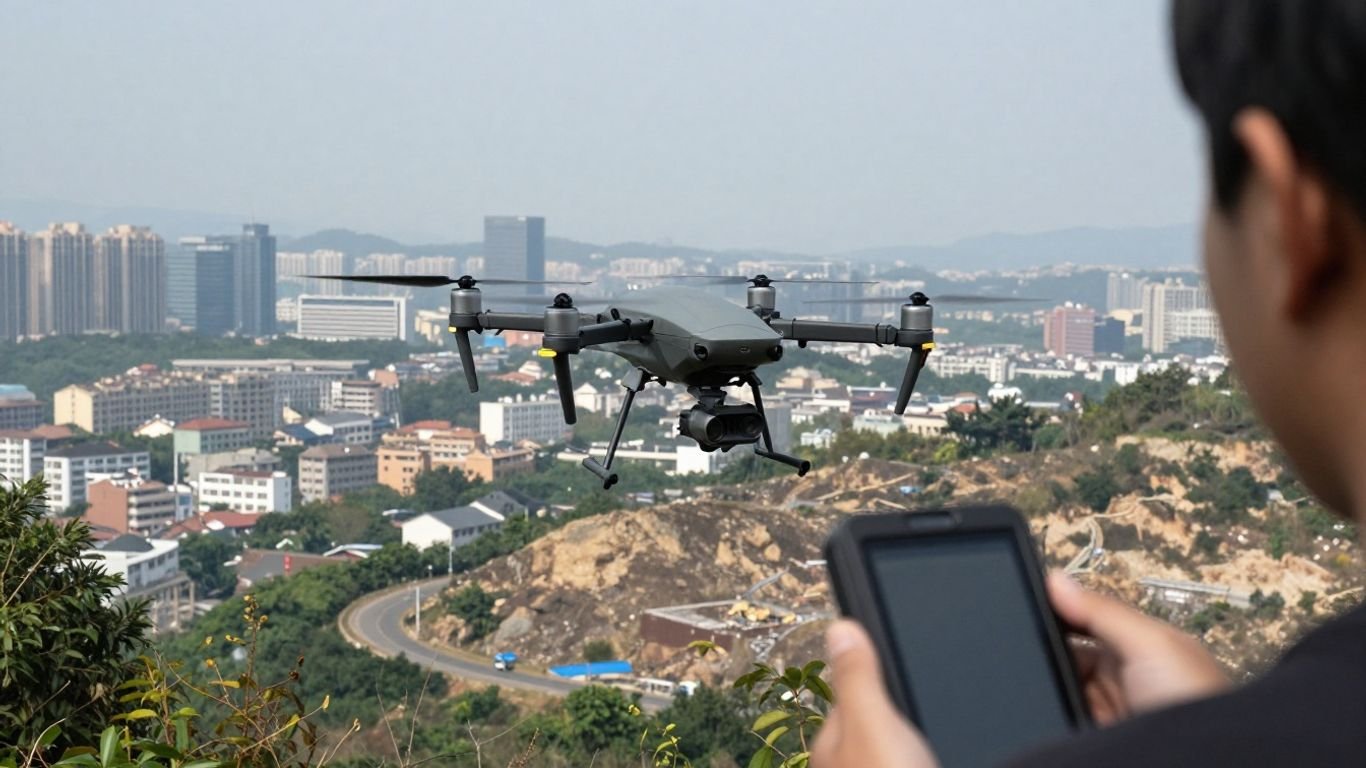
The Black Hornet nano reconnaissance concept centers on a very small unmanned aircraft paired with an operator control unit and a digital communications link. Rather than replacing larger systems, it is intended to give people on the ground a closer view of nearby spaces. Its usefulness depends as much on disciplined operation as on airframe size. The system should therefore be understood as a compact reconnaissance tool within a wider information process.
What makes it a nano unmanned aircraft
A nano unmanned aircraft is defined less by one universal dimension than by its compact form, light logistical footprint, and ability to operate close to small teams. The Black Hornet is described in available technical coverage as a military micro unmanned aerial vehicle, with a camera that transmits video and still images to its operator. That combination makes it suited to short-range observation where carrying a larger aircraft would be inconvenient.
The category also shapes expectations. A small aircraft is not automatically a long-endurance platform or a substitute for every aerial sensor. Its strength is placing a modest but useful observation capability in the hands of a nearby team.
How its compact design supports covert observation
Small size can reduce the visual and acoustic cues that reveal an aircraft, although it never makes a flight undetectable. The compact design can also help an operator examine confined approaches, building edges, courtyards, or terrain folds without moving the whole team into view. This is where low-signature observation becomes an operational advantage rather than merely a technical description.
Covert use still requires restraint. Flight paths, lighting, background noise, and the attention of people on the ground all affect whether an aircraft remains unnoticed.
The role of the operator control unit
The operator control unit is the practical bridge between the aircraft and the mission. It lets the operator view transmitted imagery, steer the aircraft, and, where supported, manage planned waypoints. A handheld interface can shorten the distance between seeing something and deciding what it means, but it does not remove the need for sound judgment.
Control equipment also supports preparation and recovery. Teams need to understand the display, communications status, remaining battery, and return procedure before launch rather than learning those details during a stressful flight.
How the Black Hornet fits into small-drone operations
Small-drone operations work best when each aircraft has a defined place in the unit’s workflow. The Black Hornet can provide local situational awareness, while other information sources may cover wider areas, map terrain, or maintain communications. The operator should know what question the flight is answering and who will act on the result.
For broader context, this drone technology overview illustrates how small aircraft sit within a much larger range of unmanned systems. The comparison is useful because “small drone” describes a family of operating patterns, not one universal mission.
Core reconnaissance capabilities
Reconnaissance depends on the quality and timeliness of information, not simply on the aircraft’s presence overhead. Cameras, transmission links, flight behavior, and environmental conditions all shape what an operator can actually learn. A useful assessment separates the sensor output from the conditions under which that output was collected. The following capabilities should therefore be read as parts of one operating chain.
Electro-optical and infrared imaging
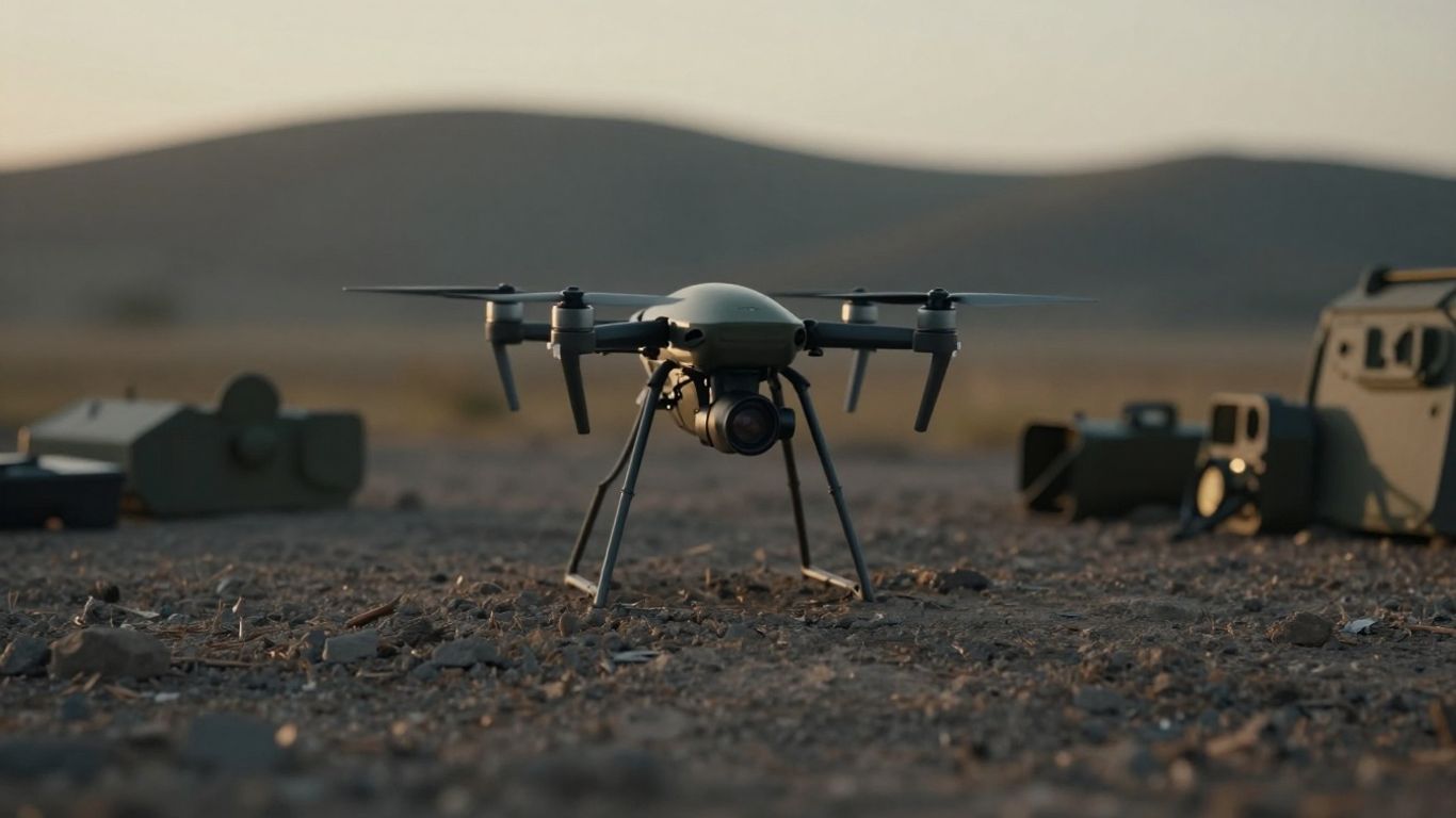
Electro-optical imagery can provide visible-light detail, while infrared imagery can help distinguish heat patterns when ordinary visual contrast is weak. The exact usefulness of either view depends on distance, weather, background temperature, motion, and the quality of the transmission. Operators should avoid treating a thermal image as a complete explanation of what is happening.
Sensor choice is most valuable when it is tied to a question: identifying an opening, checking whether a route is clear, or locating a person in a difficult visual setting. That keeps the mission focused and reduces unnecessary flight time.
Day and night situational awareness
Day and night operations involve different problems. Daylight may offer richer color and surface detail, while darkness can reduce visual references and make navigation more demanding. Infrared and low-light tools can extend awareness, but they do not remove shadows, occlusion, weather effects, or the need for careful interpretation.
A practical team establishes what constitutes a usable observation in each lighting condition. It may also compare imagery gathered at different times instead of assuming that one frame captures the whole situation.
Live video and still-image collection
Live video helps an operator react to changing conditions, while still images can preserve a particular view for later review or briefing. The two formats serve different purposes. Video supports immediate orientation; still imagery can make a single feature easier to discuss, annotate, or compare with another observation.
The distinction matters during handoffs. A team receiving a live feed may need concise verbal direction, while a later analyst may need timestamps, location information, and an explanation of why a frame was retained.
Range, endurance, and environmental factors
Range and endurance are never just numbers on a specification sheet. Buildings, terrain, interference, wind, rain, temperature, and the chosen route can all reduce practical flight time or usable communications. Even when a system performs within its stated envelope, the operator needs a reserve for returning safely and dealing with unexpected delays.
A simple planning table can help teams compare the mission need with the operating context before launch:
| Planning factor | Question to ask | Operational effect |
|---|---|---|
| Range | How far must the aircraft travel and return? | Determines route and reserve requirements |
| Endurance | How long must the observation continue? | Limits loitering and repeat passes |
| Weather | What wind, rain, or visibility conditions are present? | May reduce stability or image quality |
| Connectivity | Will the control link remain reliable? | Affects control, video, and recovery |
The table is not a substitute for a flight assessment. It simply makes hidden assumptions visible, which helps the team decide whether to shorten the route, change the launch point, or postpone the mission.
How Black Hornet missions are planned
A well-planned mission begins with a question rather than a desire to fly. The team defines the information needed, identifies the people who need it, and chooses a route that can answer the question without creating unnecessary exposure. Planning also includes contingencies for lost communications, low battery, changing weather, and an unsafe recovery area. This preparation is what turns a small aircraft into a useful operational aid.
Defining the reconnaissance objective
The objective should be specific enough to guide the flight and broad enough to allow reasonable judgment. “Check the western approach for movement” is more useful than “look around,” because it identifies an area, a concern, and an implied decision. A clear objective also gives the operator a basis for ending the mission once the required information has been collected.
Teams should distinguish between confirmation and discovery. Confirming a known feature may require one stable view; discovering an unknown condition may require multiple angles or a slower route.
Selecting launch points and flight routes
The launch point affects concealment, signal quality, battery use, and recovery. Routes should account for obstacles, likely areas of interest, the aircraft’s viewing angle, and the need to return. In built-up environments, a direct line may be less useful than a route that provides several controlled viewpoints.
The safest route is not always the shortest. A slightly longer path may offer better separation from people, structures, or hazards and may give the operator more time to respond to an unexpected change.
Managing communications and navigation constraints
A control link can weaken behind walls, around terrain, or amid other sources of interference. Navigation may also become less reliable when satellite signals are obstructed or unavailable. Operators should know which flight behaviors remain possible under degraded conditions and what recovery action is authorized.
Before launch, the team can test the link from the intended control position, confirm the return procedure, and agree on plain-language calls for aborting or changing the route. These small steps reduce confusion when attention is divided.
Balancing coverage, stealth, and battery life
Every additional pass may produce more information, but it also consumes time and increases the chance of detection or link loss. Mission planning is therefore a series of trade-offs rather than a search for maximum coverage. The operator should prioritize views that can change a decision and leave lower-value curiosity for another flight.
This approach also makes post-mission review easier. When the purpose and route are documented, analysts can tell whether missing information reflects a sensor limitation, a planning choice, or a change in conditions.
Operational uses in the field
Nano reconnaissance is most valuable close to the point of action, where a small amount of timely information can prevent a team from moving blindly. It can support route checks, perimeter observation, search efforts, and assessments of difficult terrain. The aircraft does not make decisions for the team; it adds another view to the decision process. Its role should remain proportional to the risk and the information required.
Urban and indoor reconnaissance
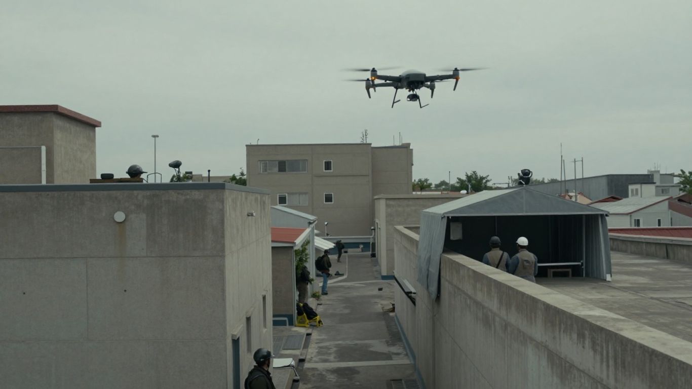
Urban spaces create blind corners, vertical obstructions, reflective surfaces, and unreliable communications. A compact aircraft may offer a perspective into a courtyard, along a roofline, or through a constrained approach without requiring the full team to expose itself. Indoor use is more demanding because navigation, airflow, obstacles, and recovery space can change quickly.
Operators should establish boundaries before entering a confined area. A short flight with a clear stopping point is generally easier to manage than an improvised exploration with no agreed recovery plan.
Perimeter security and route checks
Aerial checks can help a team inspect sections of a perimeter or examine a route before personnel move through it. The observation may reveal a blocked passage, an unexpected person, a damaged structure, or a change in the surrounding environment. Such information is most useful when it is tied to a decision and delivered while the decision can still change.
Route checks should also be repeated when conditions shift. A clear view from an earlier flight does not guarantee that the route remains clear later.
Search and rescue support
In search and rescue, a small aircraft can provide an additional viewpoint over rough ground, open areas, or locations that are difficult to reach immediately. Visible and infrared imagery may assist with prioritizing search areas, but image interpretation must remain cautious. Vegetation, rocks, warm surfaces, and weather can create misleading patterns.
Search teams should coordinate the aircraft with ground teams, medical resources, and established communications. The drone is an aid to locating and assessing people, not a replacement for trained rescuers.
Intelligence gathering in difficult terrain
Hills, rubble, dense vegetation, and narrow passages can all restrict direct observation. A compact aircraft may inspect a nearby angle while people remain behind cover or on safer ground. The value often comes from filling a small information gap rather than maintaining continuous surveillance.
For readers comparing mission categories, this tactical ISR reference provides useful context on how compact unmanned systems can bridge handheld observation and larger aerial platforms. The central planning questions remain the same: what must be known, how quickly, and at what risk?
Benefits and limitations of nano reconnaissance
The appeal of nano reconnaissance lies in its balance of portability and immediate observation. Yet the same small size that makes a system easy to carry can constrain its battery, payload, weather tolerance, and communications margin. A responsible assessment presents both sides. Teams should judge the aircraft by the mission it can realistically support, not by an idealized image of effortless surveillance.
Low visual and acoustic signature
A small aircraft may be harder to see or hear than a larger platform, which can help when discreet observation matters. Background conditions still matter, including wind, building reflections, ambient noise, and the observer’s distance. A low signature reduces the chance of immediate attention; it does not guarantee concealment.
The operator should therefore avoid unnecessary hovering and repeated passes. Quiet, purposeful flight is generally more useful than extended activity without a clear information gain.
Reduced logistical burden
Compact equipment can be carried by a small team with less setup than a larger aircraft system. That may make it practical for short-notice route checks or local assessments. Reduced burden does not mean zero burden: batteries, control equipment, spares, training, launch and recovery procedures, and data handling still need planning.
The logistics question is best framed in terms of the entire kit. A light aircraft is only operationally light if the supporting equipment and procedures remain manageable in the field.
Weather, payload, and endurance limitations
Wind, rain, temperature, and poor visibility can reduce flight stability and image quality. A compact platform also has limited room for sensors and power, so teams must accept trade-offs between size, endurance, and information quality. These limits become especially significant when the aircraft must travel farther, remain airborne longer, or operate around obstacles.
Mission leaders should set a clear no-go threshold before launch. That threshold can account for weather, visibility, link reliability, and the consequences of losing the aircraft.
Dependence on operator training and connectivity
A capable aircraft still depends on a person who can interpret imagery, manage the controls, monitor the link, and make conservative choices. Connectivity problems can remove live video or control at the moment it is most needed. Training should include ordinary flights as well as degraded-link, low-light, and recovery scenarios.
The Black Hornet 4 coverage describes a nano UAV system for immediate, covert ISR and situational awareness, while also discussing operation in GPS-denied and contested environments. Those claims underline a broader lesson: even advanced features must be matched with realistic procedures and trained personnel.
Using Black Hornet data effectively
Collecting imagery is only the beginning of reconnaissance. The information must be interpreted, labeled, shared with the right people, and protected from unnecessary exposure. A live feed can support an immediate decision, while stored images may contribute to later analysis or documentation. The process should preserve context so that a viewer understands when, where, and under what conditions the image was collected.
Reviewing live feeds during a mission
Live-feed review requires short, disciplined communication. Operators can describe location, direction, movement, and confidence without flooding the team with speculation. The receiving team should know which observations are confirmed and which are tentative.
A second person can help watch the feed or record key observations when staffing allows. Separating control from interpretation reduces the chance that the operator misses a flight hazard while concentrating on a visually interesting detail.
Capturing imagery for later analysis
Still images and recorded video can support comparisons, briefings, and after-action review. Each retained file benefits from basic context such as time, approximate location, flight direction, and the question it was intended to answer. Without that context, a clear image may still be difficult to use.
The Black Hornet is described as transmitting video and still images to the operator through a digital data link. That model reinforces the need to manage the receiving side carefully, since the value of transmitted imagery depends on how it is recorded and interpreted.
Sharing intelligence with field teams
Sharing should be timely, concise, and proportional to the recipient’s role. A field team may need a verbal warning and a simple location reference, while an intelligence cell may need the original file and a fuller record of uncertainty. Information should not be passed along as certainty when the image is ambiguous.
A practical handoff usually identifies the observation, its location, its time, the confidence level, and the action it may affect. That structure helps teams act without mistaking an interpretation for a fact.
Protecting sensitive reconnaissance data
Reconnaissance imagery can reveal locations, routines, identities, and operational intentions. Access controls, secure storage, careful transfer, and retention limits should be established before a mission. Teams should also consider whether faces, private property, or unrelated activity appear in the frame.
Data protection is part of operational safety, not an administrative afterthought. A useful recording that is exposed to the wrong audience can create risks greater than the original observation solved.
Legal, ethical, and safety considerations
Aerial observation sits at the intersection of operational need, public safety, privacy, and law. The rules vary by country, agency, airspace, and mission type, so a general article cannot replace current legal advice or local authorization. Teams should identify who is responsible for approval, flight safety, data governance, and incident reporting. Clear responsibility matters especially when the aircraft is used around homes, roads, public gatherings, or emergency scenes.
Rules governing military and public-sector drone use
Military and public-sector operators typically work under formal policies covering authorization, airspace, mission purpose, recording, and information release. Those policies may differ from rules for private or recreational flights. Operators should confirm the applicable framework before deployment and document the authority for the mission.
A written purpose also helps prevent scope creep. Observation authorized for a defined safety task should not quietly become unrelated monitoring.
Privacy risks during aerial observation
Cameras can capture people and private spaces that are not relevant to the original objective. Teams should minimize collection, avoid unnecessary identification, and restrict access to material that does not support the mission. Where law or policy requires notice, warrants, consent, or special handling, those requirements must be followed.
Privacy protection also involves deletion. Data that has no operational or evidentiary purpose should not be kept indefinitely simply because storage is easy.
Airspace and operational safety requirements
Safe flight requires attention to people, buildings, vehicles, weather, restricted areas, and other aircraft. Launch and recovery zones should be controlled where possible, and the team should know what happens if the control link fails. A small aircraft can still injure someone, damage property, or interfere with an emergency response.
Before flight, the operator should confirm the airspace status, weather, equipment condition, route, recovery plan, and emergency actions. These checks are ordinary, but they prevent small oversights from becoming serious incidents.
Accountability in autonomous and remotely piloted missions
Whether a flight is manually controlled, waypoint-assisted, or partly automated, a human organization remains responsible for authorization and oversight. Records should show who approved the mission, who operated the system, what data was collected, and how significant decisions were made. Automation can reduce workload, but it does not erase accountability.
A useful standard is that every mission should be explainable afterward. If the team cannot reconstruct why the aircraft flew, what it observed, and how the information was used, the process needs stronger controls.
Conclusion
Black Hornet Nano Nano reconnaissance is best understood as a focused way to gather nearby visual information, not as a universal answer to every surveillance problem. Its value comes from matching a compact aircraft, appropriate sensors, trained operators, careful planning, and responsible data handling to a clear operational question. The strongest deployments are measured not by how long the aircraft stays airborne, but by whether its information helps people make safer and better-informed decisions.
Frequently Asked Questions
What is nano reconnaissance?
Nano reconnaissance uses a very small unmanned aircraft to collect nearby visual or sensor information for a defined purpose. It is generally intended to complement, rather than replace, larger aircraft and ground observation.
Why are small drones useful for local awareness?
They can be carried and deployed by small teams, inspect nearby angles, and provide information without requiring personnel to move immediately into an uncertain area. Their usefulness depends on the environment and the quality of the operating process.
Can nano aircraft operate at night?
Some systems use low-light or infrared sensing to support observation after dark. Night operations remain affected by weather, obstacles, communications, battery limits, and the operator’s ability to interpret the imagery.
What limits a small reconnaissance drone?
Common limits include short endurance, restricted payload capacity, wind and rain sensitivity, obstacles, communications loss, navigation problems, and limited image quality at distance. These constraints should be considered before launch.
How should teams plan a reconnaissance flight?
They should define the information required, select a safe launch point and route, check weather and airspace, establish communications and recovery procedures, and set a clear stopping point. A contingency plan is essential if the link or aircraft performance degrades.
How can aerial imagery be shared responsibly?
Teams should preserve time and location context, distinguish observation from interpretation, share only with authorized recipients, and protect sensitive files. Retention and deletion rules should be set before the mission.
What ethical issues arise during aerial observation?
The main concerns include privacy, unnecessary collection, unclear authorization, unsafe flight near people, and the risk that uncertain imagery will be treated as fact. Proportionality, oversight, and documented accountability help reduce those risks.