RQ-7B Shadow tactical ISR: capabilities, operations, and limitations

Key Takeaways
The RQ-7B Shadow is best understood as a tactical observation system: its value depends on how well collection, communication, and interpretation work together.
- It is designed to provide aerial reconnaissance and surveillance in support of ground forces.
- The aircraft is one part of a larger system that includes crews, control stations, and communications links.
- Electro-optical and infrared imagery can help operators observe areas in different lighting conditions.
- Mission usefulness depends on weather, terrain, airspace, communications, and the unit’s information needs.
- Tactical ISR is most effective when collected information reaches decision-makers in a timely, usable form.
What the RQ-7B Shadow is designed to do
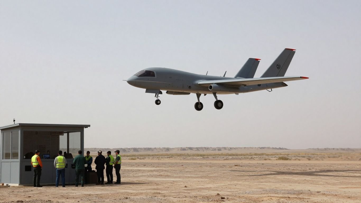
The RQ-7B Shadow Tactical ISR mission centers on aerial observation in support of ground operations. Rather than treating the aircraft as an independent answer to a tactical problem, it helps crews gather information for units that need a clearer view of an area. Public descriptions identify the Shadow as a tactical reconnaissance system, with imagery relayed to a ground control station (AAI RQ-7 Shadow). The usefulness of that picture depends on how well the mission is shaped around the supported force’s questions.
The Shadow 200 system and its role
The Shadow 200 is the wider unmanned aircraft system associated with the RQ-7: the air vehicle operates alongside ground control and support elements. That distinction matters because the aircraft alone does not plan a collection task, interpret what a sensor sees, or decide how information should reach a unit. Its role is to contribute aerial observation within a larger tactical process. Accounts of the system also describe target acquisition and battle-damage assessment among its uses, though the specific task depends on the mission and the information sought.
Tactical intelligence, surveillance, and reconnaissance missions
Tactical ISR brings together intelligence collection, surveillance, and reconnaissance to inform decisions close to operational activity. A mission might focus on observing a route, watching an area over time, or checking a reported change; the precise task is set by the supported unit, not by a generic platform label. The RQ-7B is part of this practical layer of observation, where timely information can help people ask better follow-up questions. The emphasis is on providing context, not on treating an image as a complete explanation.
How the aircraft supports ground units
For ground units, aerial observation can add perspective beyond what is visible from a position on the ground. It may help a staff compare reports with imagery, follow a developing situation, or decide whether more collection is needed. That contribution is most useful when the information is passed in a form and at a pace the unit can act on. A sensor feed is not a decision by itself; people still have to assess what it shows and how it fits with other reports.
Where the RQ-7B fits among unmanned aircraft
The RQ-7B occupies a tactical role between very close, small-unit observation and broader surveillance missions conducted at a different scale. Systems are not interchangeable just because they all carry cameras: size, launch arrangements, control, endurance, and intended users shape what each can reasonably support. For comparison, the RQ-20 Puma is described as a smaller tactical ISR aircraft, illustrating how different systems can serve distinct operational contexts. The right fit is a question of the unit’s requirements, not a simple ranking of aircraft.
Air vehicle and mission-system fundamentals
An unmanned aircraft system is more than its airframe. The aircraft, control station, crew, communications, launch and recovery arrangements, and support equipment all contribute to whether a mission can be carried out. Public descriptions of the Shadow include a catapult launch and arresting-gear recovery approach, though configurations and procedures may vary across versions and operators. Keeping the whole system in view makes it easier to understand both its capabilities and its practical demands.
Airframe, propulsion, and launch and recovery
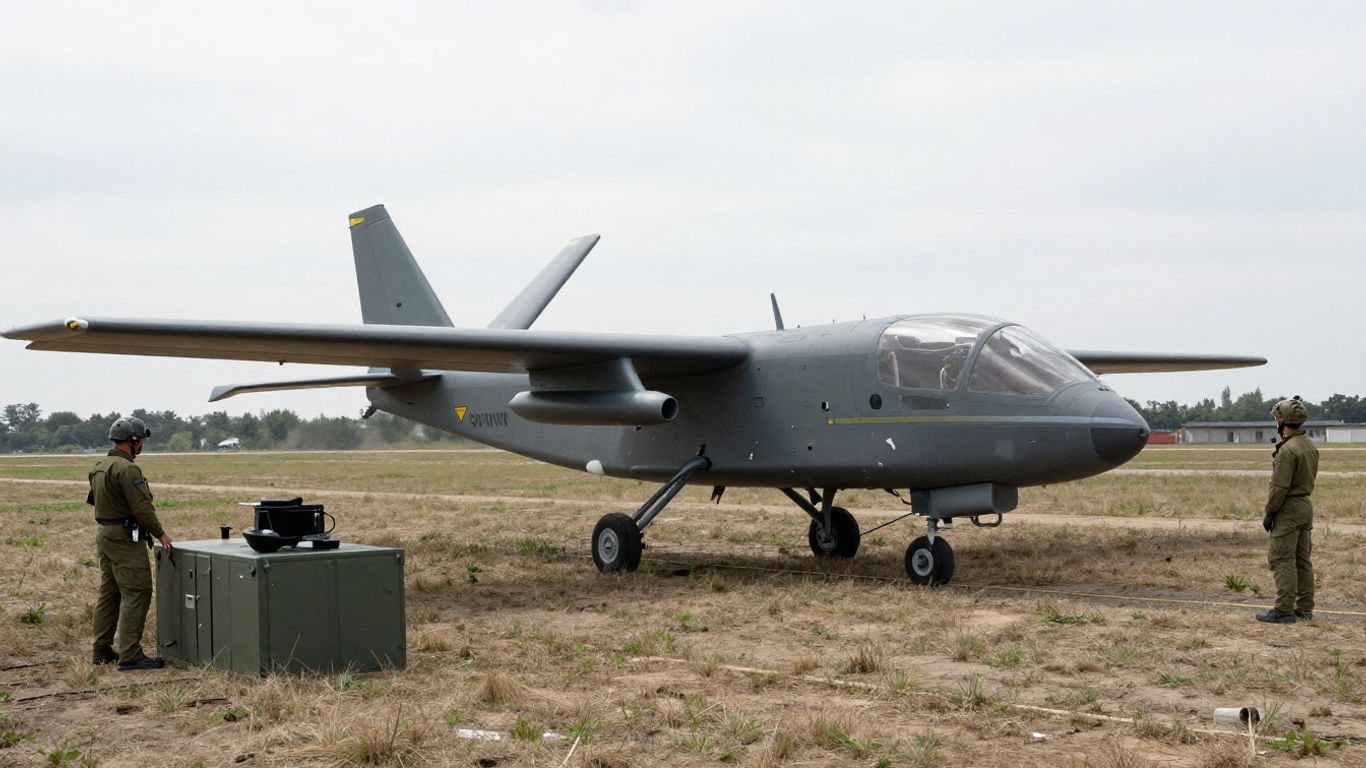
The air vehicle must be launched, flown, and recovered within the limits of its equipment and operating environment. The Shadow has been described with a catapult launch and recovery using arresting gear, a setup that differs from a conventional runway departure and landing. These arrangements affect site selection, preparation, and the coordination required from the ground crew. The overall layout is therefore part of the mission plan, not a detail that can be considered only once the aircraft is ready to fly.
Ground control stations and crew responsibilities
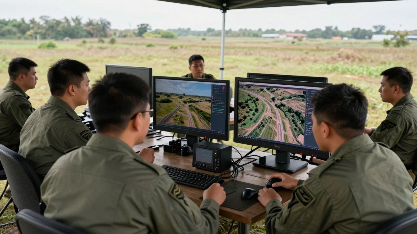
A ground control station provides the crew with a place to manage the aircraft and monitor mission information. Responsibilities are distributed across planning, flight operation, sensor use, communications, and the handling of collected material. Good coordination helps prevent the crew from focusing on aircraft operation at the expense of the supported unit’s information needs. Training and clear procedures matter because the mission involves both a flying vehicle and a stream of information that must be understood.
Communications links and mission coordination
Communications connect the aircraft, its operators, and the forces receiving information. A link may carry imagery, aircraft data, or coordination messages, and each has a role in keeping a mission aligned with its purpose. Public descriptions of the Shadow note that sensor video is relayed to a ground control station; the practical reach and quality of any link depend on the system configuration and operating conditions. Information governance matters too: for example, Nemo Group UK describes obligations and prohibited uses for its own service, a separate setting but a reminder that communications systems operate within defined rules.
How mission configuration can vary
A mission’s setup reflects the intended task, available equipment, location, and crew resources. Not every flight asks the same question or requires the same pattern of observation, and configurations should be understood in terms of the job they support rather than assumed to be identical. At a general level, the system’s moving parts can be considered together:
| Mission element | What it contributes | What planners consider |
|---|---|---|
| Air vehicle | Carries out the flight | Operating area and recovery options |
| Control station | Supports crew oversight | Crew roles and mission procedures |
| Sensor | Collects imagery or other information | Observation task and conditions |
| Communications | Moves information between participants | Coverage, availability, and priority |
This overview is deliberately functional rather than a fixed equipment list. Specific mission details depend on the aircraft version, operator, and task, so the table is best read as a planning framework rather than a claim that every configuration is the same.
ISR payloads and information collection
The sensor is the point where an aerial view becomes collected information, but the output still needs interpretation. Shadow descriptions identify electro-optical and infrared imaging among the system’s observation capabilities. Those modalities can support observation in different lighting conditions, while the quality and usefulness of the resulting imagery depend on the scene and the task. A camera may reveal a detail, but it cannot by itself establish what that detail means.
Electro-optical and infrared imaging
Electro-optical imagery records visible-light information, while infrared imaging can provide a different view based on heat patterns. Used thoughtfully, these sensor types can contribute observations when lighting conditions differ or when visual context is needed. They do not remove the need for analysts and operators to consider distance, motion, contrast, and uncertainty. The distinction between seeing an image and reaching a reliable interpretation is central to responsible collection.
Target observation and area surveillance
A crew may be asked to observe a particular point or to watch a broader area over time. The choice changes what the operator looks for and how information is reported: a focused observation asks for detail, while area surveillance often favors context and changes across a wider view. Either way, the imagery should be tied to a clear question. Without that connection, even a steady stream of video can be difficult to turn into useful understanding.
Sensor tasking and collection priorities
Sensor tasking works best when priorities are explicit and limited enough to guide attention. A supported unit can identify what it needs to know, what uncertainty matters most, and when an update would be useful. Priorities may shift as new information arrives, so communication between the crew and supported force remains important. The result is a collection effort with a purpose, rather than observation for its own sake.
Factors that affect image quality and coverage
Image quality and coverage are affected by the viewing conditions, the scene, the aircraft’s position, and the task being attempted. Coverage is not simply a matter of pointing a sensor at the largest possible area; detail and breadth can pull in different directions. The general principle is familiar outside aviation as well: a sewer camera inspection turns a view into evidence about a specific hidden condition, but only within its own setting and limits. In both cases, the operator’s question shapes what the image can usefully show.
From collection to tactical decision-making
Collection matters only when information can be understood and used by the people who need it. The path runs from a unit’s request through observation, communication, interpretation, and, where necessary, follow-up collection. A report or image may answer one question while leaving another unresolved. This is why a well-run ISR mission is as much about information priorities as it is about flight.
Planning a mission around unit requirements
Mission planning begins with the supported unit’s need: what is uncertain, what area matters, and what kind of observation could help. The plan also has to account for practical limits, including available time, operating conditions, and how information will be passed. A short set of questions can keep the task focused:
- What decision or assessment is the collection meant to inform?
- Which area or activity is relevant to that question?
- What information would change the unit’s understanding?
- How and when should an observation be reported?
These questions make the task more concrete without assuming that every mission follows the same template. A useful plan sets priorities while leaving room to adjust when the situation changes; even in a different field, The Process Podcast guide to maintaining business momentum stresses practical goals and consistent habits, not a one-size-fits-all formula.
Passing imagery and reports to supported forces
Imagery is often easier to use when it arrives with a concise explanation of what the crew observed, when it was observed, and what remains uncertain. The supported force can then relate the information to its own reports and immediate needs. Clear reporting also reduces the chance that a detail in an image will be mistaken for a confirmed conclusion. The handoff is not just transmission; it is a shared effort to preserve context.
Integrating Shadow products with other intelligence
An aerial observation is one source among several. Staff may compare it with ground reporting, maps, prior observations, or other intelligence to determine whether accounts agree and where gaps remain. Reporting practices in other domains likewise depend on bringing separate inputs into a view people can use; Sage Intacct, for instance, concerns financial dashboards and reporting, a distinct subject but an example of how organized inputs can support decisions. In tactical ISR, integration means keeping the source and limits of each observation clear.
Managing latency, bandwidth, and information overload
Information can lose value if it arrives too late, but sending everything can overwhelm the people expected to interpret it. Crews and supported units therefore have to balance timeliness with the amount and detail of material passed along. Prioritizing essential observations and preserving context can make a feed more usable than an unfiltered stream. The same care applies to digital data handling more generally: FLOW THE KITCHEN explains its own website cookie choices and consent, a separate topic that underlines how systems need clear rules for information use.
Operational strengths and limitations
The Shadow’s value comes from the combination of aerial observation and a system that can pass information to users on the ground. That can help a unit build a more informed picture, but it does not make collection continuous in every condition or guarantee a particular result. Weather, terrain, communications, airspace, and support requirements all shape what a mission can accomplish. Understanding those constraints is part of understanding the capability.
Persistent coverage and responsiveness
Aerial observation can offer a view that is difficult to maintain from the ground, and a mission can be adjusted as unit questions evolve. The degree of persistence and responsiveness depends on available aircraft, crew capacity, operational constraints, and the task itself. It is safer to think in terms of planned coverage than assume uninterrupted observation. A timely, focused update may be more useful than a prolonged feed with no clear priority.
Weather, terrain, and airspace constraints
Weather can affect flight operations and the clarity of what a sensor records, while terrain can limit what is visible from a given perspective. Airspace coordination adds another layer: a mission has to fit alongside other activity and follow applicable procedures. These factors can narrow where and when observation is practical. They are not minor exceptions to an otherwise universal capability; they are part of normal operational planning.
Communications, range, and endurance considerations
A mission’s practical reach is shaped by its communications and aircraft performance, as well as by where control and support elements are positioned. Public sources report different figures for Shadow configurations, so a single number should not be treated as universal across variants and operating conditions. The broad lesson is that distance, time aloft, and information delivery are connected but not interchangeable. Planners need to consider what the aircraft can observe and whether the resulting information can reach the intended users in time.
Risks to the aircraft and its supporting infrastructure
Risk applies to the entire system, not only to the aircraft in flight. Launch and recovery equipment, control stations, communications, maintenance, and trained personnel all contribute to the ability to operate. Disruption to any part can reduce mission availability or complicate information delivery. A realistic assessment accounts for those dependencies rather than treating the aircraft as a self-contained asset.
The RQ-7B’s place in the evolution of tactical ISR
The RQ-7B belongs to a broader history of tactical unmanned aircraft becoming part of routine information gathering for ground forces. Its significance is not simply that it flies without a pilot onboard; it reflects an operating model that joins aircraft, sensors, crews, and unit-level decision-making. Public accounts describe successive Shadow versions and upgrades, though details vary by source and configuration. Its history offers a useful lens on how tactical ISR systems are adopted, adapted, and eventually reassessed.
Changes across Shadow variants and upgrades
A system can change over time through updates to the air vehicle, sensors, ground elements, or operating procedures. Such changes may affect how crews plan and pass information, but a model name alone does not establish which equipment every operator uses. Public reporting describes the RQ-7B as following earlier Shadow aircraft and notes later variants; the Shadow 200 RQ-7 system overview provides one account of launch, recovery, and mission roles. Details should be tied to the particular version being discussed rather than generalized across the family.
Complementary roles with crewed aircraft and other UAS
Tactical ISR is an ecosystem of different platforms and perspectives, not a contest in which one aircraft must do every job. Crewed aircraft, larger unmanned systems, and small-unit platforms may contribute at different scales, depending on availability and mission need. The RQ-7B’s place is best understood through the unit it supports and the kind of observation it can provide. Coordination across systems can help build context, while each source retains its own limits.
Modernization and replacement considerations
Modernization decisions weigh more than new equipment. Operators consider whether a system remains supportable, whether it fits current mission needs, and how changes affect training, communications, and established workflows. Replacing a platform also means transitioning the wider operating system around it, not merely selecting another airframe. Those decisions are shaped by requirements and evidence over time, rather than by novelty alone.
What the platform’s history shows about tactical drone operations
The Shadow’s long-standing role in tactical ISR illustrates how useful aerial observation depends on people and processes as much as sensors. A platform has to fit into planning, airspace coordination, communication, analysis, and decisions made by supported forces. Its history also points to an enduring trade-off: more information is valuable only when units can receive, interpret, and act on it. That lesson applies well beyond any one aircraft.
Conclusion
The RQ-7B Shadow is a tactical ISR system whose contribution comes from connecting an aircraft and its sensors with crews and ground-unit needs. Its observation capabilities can support awareness and assessment, but weather, terrain, communications, configuration, and human interpretation shape what a mission can deliver. Seen in that context, the Shadow is neither a complete picture by itself nor merely an aircraft overhead; it is one part of a larger process for turning collection into informed action.
Frequently Asked Questions
What does tactical ISR mean?
Tactical intelligence, surveillance, and reconnaissance is the collection and interpretation of information to support decisions at the operational level where forces are carrying out missions.
How is surveillance different from reconnaissance?
Surveillance generally refers to observing an area or activity over time, while reconnaissance is often directed toward gathering information about a particular place, route, or question. In practice, the terms can overlap.
What can affect aerial imagery?
Lighting, weather, terrain, viewing angle, distance, movement, and the sensor itself can all influence what imagery shows and how confidently it can be interpreted.
Why does mission planning matter for ISR?
Planning connects a unit’s information need to a collection task, helps prioritize limited resources, and clarifies how and when observations should be shared.
Does an image always provide a definite answer?
No. An image can add evidence, but it may be incomplete or ambiguous. It is usually assessed alongside other reporting and the circumstances in which it was collected.
Why can communications limitations matter?
Information that cannot be passed reliably or in time may be less useful to the people making decisions. Communications conditions also affect how much material can be shared and when.
What is the main limitation of an unmanned aircraft system?
There is no single limitation that applies in every situation. Practical effectiveness depends on the aircraft, sensors, crew, operating environment, communications, and the needs of the supported unit.