
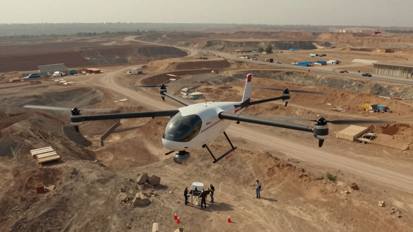
WingtraRAY Wingtra: A complete guide to faster aerial surveying and mapping

Key Takeaways
Aerial surveying becomes more predictable when aircraft selection, mission planning, field procedures, and data processing are treated as one workflow.
- VTOL aircraft can simplify launches and recoveries where a runway is impractical.
- Coverage, ground sampling distance, overlap, and accuracy requirements should be set before flight.
- Ground control points and checkpoints help validate the finished survey.
- Good field preparation reduces missed imagery, unsafe decisions, and repeat visits.
- The right platform is the one that fits the site, deliverables, team, and operating rules.
What WingtraRAY is and how it fits into the Wingtra ecosystem
WingtraRAY is a survey and mapping drone built around a vertical-takeoff-and-landing approach. It sits between the compact convenience of a multirotor and the efficient forward flight associated with fixed-wing aircraft. For survey teams, the useful question is less about the label and more about whether the aircraft, payload, workflow, and operating permissions suit the work. This guide follows that question from the first site plan to the final deliverable.
The role of WingtraRAY in aerial surveying
The role of an aerial survey aircraft is to collect dependable spatial data over a defined area, with enough resolution and overlap for the intended processing method. WingtraRAY is presented as a survey and mapping drone designed for faster results, using built-in GNSS PPK and specialized software for data capture. Those capabilities belong in a wider professional process: define the specification, collect suitable imagery, check the result, and document how it was produced.
A survey team should still distinguish between collecting data and approving it. A fast flight does not remove the need to inspect coverage, coordinate systems, control, checkpoints, and deliverable quality. The aircraft can support the collection stage, while professional judgment remains central to the survey.
How vertical takeoff and landing supports field operations
Vertical takeoff and landing is useful when a site has no convenient runway or when the launch area must remain compact. The aircraft can rise from a prepared point, transition into forward flight, and return for a vertical recovery. That arrangement can make field setup more flexible than launching from a long, clear strip.
The benefit is practical rather than magical. The launch site still needs a safe surface, adequate clearance, and a location that works with the planned flight and local rules. Surveyors should also think about recovery first: a technically possible launch is not automatically a sensible operation if the return area is obstructed or exposed.
Key differences from conventional multirotor and fixed-wing drones
A conventional multirotor generally stays airborne through powered lift from its rotors, while a conventional fixed-wing aircraft typically needs a launch and recovery method suited to forward flight. A VTOL mapping aircraft combines vertical operations with an aircraft layout intended for efficient forward travel. That changes the field routine, but it does not eliminate the need to evaluate battery planning, payload choice, wind, terrain, and airspace.
The comparison should therefore be made against the project rather than against a simple category label. A small, close-range site may favor a different setup, while a broad area may reward longer efficient flight lines. The best choice depends on the required coverage, resolution, launch conditions, data workflow, and team experience.
Surveying and mapping projects suited to WingtraRAY
Projects with broad, regular areas are natural candidates for an aircraft that can collect mapping data across planned flight lines. Examples include corridor mapping, open construction sites, mines, agricultural areas, and infrastructure surveys, provided the payload and authorization match the work. Urban or time-sensitive sites may also require a particularly careful review of operating permissions and risk controls.
A useful early exercise is to describe the project without naming equipment: area, terrain, required GSD, deliverables, accuracy checks, schedule, and constraints. If those requirements point toward efficient aerial coverage and a compact recovery area, a VTOL survey platform may deserve evaluation. For a plain-language introduction to the wider subject, this RTK drone mapping guide is a helpful companion when planning positioning and control.
How WingtraRAY improves survey data collection
Survey data collection is where small planning decisions become visible. Resolution that is too coarse can hide the feature a client needs, while excessive overlap or unnecessary detail can increase processing time. A productive workflow aims for sufficient information, collected consistently, without asking the aircraft or crew to solve a poorly defined brief.
The phrase WingtraRAY Wingtra belongs in that practical conversation because the platform is described as a survey and mapping system rather than a general camera drone. Still, speed should be measured across the whole job: preparation, flight, data handling, processing, review, and delivery. One impressive flight does not by itself equal a faster project.
Coverage, endurance, and flight efficiency
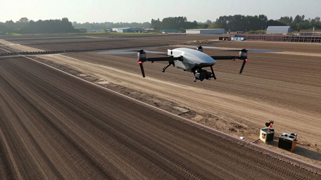
Coverage is shaped by flight time, speed, altitude, overlap, sensor characteristics, and the geometry of the site. Efficient forward flight can reduce the number of separate sorties needed over a large, open area, but the mission must remain within safe battery and communications margins. Wind direction and terrain can also make one flight line more demanding than another.
Before promising a schedule, teams should model the actual area and conditions. Include turns, climb and descent, launch changes, battery swaps, control placement, and the possibility of a repeat flight. Whole-project efficiency is a better measure than a headline flight figure.
Capturing high-resolution imagery and mapping data
High-resolution imagery is useful only when it matches the requested ground sampling distance and the feature being measured. The team should choose a sensor, altitude, overlap, and image angle that support the intended orthomosaic, model, or point-cloud workflow. Exposure, shadows, reflective surfaces, vegetation, and movement can affect the usefulness of otherwise sharp images.
A consistent capture plan makes later review easier. Keep the survey boundary clear, avoid unnecessary changes during the flight, and record anything unusual in the field log. If the project calls for another sensing method, assess it by the output it can support rather than by resolution alone.
Reducing time spent on repetitive fieldwork
Repeated manual passes create opportunities for inconsistent overlap, missed strips, and transcription errors. A planned mission can make the collection routine more repeatable, leaving the crew to focus on site safety, checks, and exceptions rather than steering every line by hand. That does not mean the operator becomes passive; monitoring and judgment remain active parts of the job.
The biggest time savings often come from avoiding a return visit. A short pause to verify the boundary, control points, battery state, and image quality can prevent a much longer trip back to the site. Teams should record why a mission was accepted as complete, not merely when the aircraft landed.
Balancing accuracy, speed, and project requirements
Accuracy is a project requirement, not a universal setting. A planning-grade map, a construction progress record, and an engineering survey may need different resolutions, controls, checks, and tolerances. Faster collection is valuable only if the resulting data remains suitable for the decision it will support.
A simple project matrix helps make that trade-off visible before mobilization. List the client’s required outputs, the acceptable error, the collection conditions, and the review standard. Then price the time needed to meet those requirements honestly, including control, processing, and quality assurance.
Planning a WingtraRAY mission
Mission planning turns a general area of interest into a measurable collection task. Start with the deliverable and work backward to the sensor, GSD, overlap, control, and flight geometry. A careful plan also makes it easier to explain the method to a client, site manager, or regulator.
Planning software can suggest a path, but it cannot understand every field condition. The operator must confirm the boundary, obstacles, access, airspace, surface conditions, and recovery options. The WingtraRAY getting-started guide can be used alongside the team’s own pre-flight procedure when establishing a repeatable setup.
Defining the survey area and required ground sampling distance
Draw the survey boundary around the area that must appear in the final output, adding enough margin for turns and image coverage. Ground sampling distance should be selected from the smallest relevant feature and the tolerance of the final use, not from a desire for the most detailed image possible. A finer GSD can increase the number of images and the processing burden.
Document the chosen GSD and the reason for it. If the client later requests a different level of detail, the effect on altitude, coverage, battery use, and processing can then be discussed clearly rather than guessed.
Setting up flight paths, altitude, and overlap
Flight lines should provide consistent image scale and adequate forward and side overlap across the survey area. Altitude may need to account for terrain changes, local limits, and the relationship between the aircraft and the ground. Terrain-following decisions should be checked carefully where slopes, stockpiles, or steep corridors are involved.
The plan should also show where the aircraft will take off, recover, and turn. Keep the geometry simple enough to review in the field. If the site contains tall objects, consider whether the planned line, altitude, and safety margin provide a reasonable path around them.
Using ground control points and checkpoints
Ground control points provide known positions that can help tie imagery to a coordinate framework, while independent checkpoints are useful for evaluating the finished result. Their placement should cover the survey rather than cluster in one convenient corner. Markers need to be visible in the imagery and stable for the duration of the work.
The number and arrangement depend on the project specification, terrain, processing method, and required confidence. Record coordinates, descriptions, and photographs consistently. A control plan that cannot be reconstructed later weakens an otherwise careful survey.
Reviewing terrain, airspace, weather, and site constraints
A final desk review should cover airspace, permissions, forecast conditions, terrain, nearby people and vehicles, access, and emergency actions. Weather is not only a question of whether the aircraft can remain airborne; light, wind, precipitation, dust, and heat can influence imagery and equipment handling. Site managers should know when the flight will occur and what area must remain clear.
Write down go and no-go criteria before arriving. A team is more likely to make a calm decision when limits have been agreed in advance. The plan should leave room to postpone, shorten, or repeat a mission when the actual conditions do not match the assumptions.
Operating WingtraRAY in the field
Field operations bring the plan into contact with the real site. Surfaces are uneven, access changes, people arrive unexpectedly, and weather rarely behaves exactly as forecast. A disciplined crew treats the flight as one part of a controlled process, with preparation and recovery receiving as much attention as takeoff.
Use a written checklist, even for familiar work. It creates a shared rhythm between pilot, observer, survey lead, and client representative. It also leaves a useful record when a project is repeated weeks or months later.
Preparing the aircraft, payload, and launch site
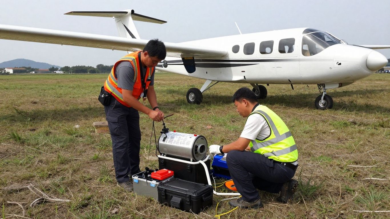
Begin with the aircraft condition, payload installation, batteries, controller, storage, and mission files. Confirm that the selected payload matches the planned deliverable and that the camera or sensor is secure and ready for the intended conditions. Inspect the launch and recovery zone for people, loose material, vegetation, overhead hazards, and vehicle movement.
A compact pre-flight sequence might include the following:
- Confirm the mission boundary, altitude, overlap, and return plan.
- Check batteries, aircraft surfaces, payload attachment, and storage capacity.
- Establish control and checkpoint marks according to the survey plan.
- Brief everyone on the launch, recovery, exclusion area, and abort procedure.
After these checks, compare the live site with the plan. If the actual launch area is unsuitable, moving it may affect coverage or permissions, so update the mission rather than improvising silently.
Managing vertical takeoff, transition, and landing
Vertical takeoff should be treated as a managed phase, not a button press. The operator needs a clear area, a stable aircraft, and enough time to confirm that the transition and initial path are behaving as expected. Recovery deserves the same preparation, especially when the aircraft returns after a long flight or changing wind.
Keep observers focused on hazards outside the pilot’s immediate view. If a person, vehicle, or unexpected obstruction enters the operating area, follow the established response. A smooth mission is valuable, but a conservative interruption is preferable to forcing a landing into an unsafe space.
Monitoring battery life, connectivity, and flight status
During the mission, monitor battery state, position, communications, route progress, and any warnings shown by the control system. Set practical margins before launch rather than waiting for a low-battery alert. Connectivity can be affected by terrain, structures, distance, and local interference, so the team should know what it will do if the link becomes unreliable.
Keep a simple event log. Note takeoff time, battery changes, pauses, route deviations, weather changes, and any decision to repeat a line. Those details help explain gaps in the data and make the processing team’s work faster.
Handling wind, uneven terrain, and changing conditions
Wind can affect ground speed, image exposure, battery use, and the shape of the flight path. Uneven terrain changes the relationship between altitude and GSD, while dust, glare, and shadows can reduce image consistency. If conditions drift beyond the mission assumptions, revise the plan or stop rather than hoping the processing stage will repair everything.
The field team should protect the equipment while preserving the survey objective. That may mean waiting for better light, relocating control, shortening the area, or returning with a more suitable plan. Operational flexibility is most useful when the limits are already understood.
Processing WingtraRAY data into usable survey outputs
Processing is where captured files become information that other people can inspect and use. Organize the material before starting reconstruction, preserve the original files, and record the coordinate reference system and mission details. A clean handoff prevents confusion when several sites or flights are processed together.
The output should be judged against the brief, not simply accepted because software completed successfully. A finished-looking map can still contain gaps, distortion, weak control, or image-quality problems. Build review into the schedule from the beginning.
Importing and organizing captured imagery
Create a project structure that separates original imagery, processed files, control data, checkpoints, mission logs, and exports. Use consistent names for sites, dates, flights, and payloads. Keep a read-only copy of the original capture so that later processing experiments do not compromise the source material.
Import the imagery with the relevant positioning and survey information. Confirm that files are complete and that timestamps, camera information, and coordinate references are being interpreted correctly. If multiple flights cover one site, document how they will be combined.
Generating orthomosaics, 3D models, and point clouds
Photogrammetry software can use overlapping images to create mapping outputs such as orthomosaics, 3D models, and point clouds. The appropriate processing settings depend on image quality, overlap, terrain, control, and the requested deliverable. Large areas may need careful project partitioning and later merging.
Processing time should be treated as part of production, not as an invisible technical detail. Record the software version, settings, coordinate system, and any exclusions. That record makes the result easier to reproduce and defend.
Checking accuracy, completeness, and image quality
Review the output visually and numerically. Look for holes, blurred areas, mismatched seams, warped edges, poor tie points, and features that are not represented clearly. Compare checkpoints with the model or map using the project’s stated method, and investigate outliers rather than quietly removing them.
A useful quality review asks four direct questions:
| Review area | What to inspect | Why it matters |
|---|---|---|
| Coverage | Boundary, gaps, and edge margins | Confirms the requested area was captured |
| Image quality | Blur, exposure, shadows, and obstructions | Shows whether imagery supports interpretation |
| Geometry | Alignment, seams, and surface artifacts | Reveals reconstruction problems |
| Accuracy | Checkpoint residuals and coordinate reference | Tests whether the output meets the brief |
This table is not a substitute for a specification, but it gives a team a shared starting point. The review should end with a clear acceptance decision, a list of limitations, or a reason to reprocess or refly.
Exporting data for CAD, GIS, and engineering workflows
Export formats should be chosen with the receiving workflow in mind. Confirm coordinate reference systems, units, vertical datums, file naming, resolution, and any required clipping before delivery. A large point cloud or raster can be technically correct yet awkward to use if it arrives without the supporting metadata.
Provide a concise report with the survey boundary, acquisition dates, equipment and settings, control information, processing method, quality checks, and known limitations. That context helps CAD, GIS, and engineering users understand what the files can—and cannot—support.
Evaluating WingtraRAY for professional surveying teams
A platform decision affects more than the aircraft price. Teams must consider training, payload handling, batteries, storage, transport, maintenance, software, insurance, permissions, and the cost of quality assurance. The right evaluation uses a representative project rather than a showroom demonstration.
Document the current workflow first. Count field hours, travel, repeat visits, processing time, and delays caused by access or approvals. Then compare those figures with a realistic pilot project and include the staff time needed to learn the new process.
Training and onboarding requirements
Operators need more than basic stick control. They should understand mission planning, payload checks, airspace, emergency procedures, positioning data, weather limits, field communication, and post-flight file handling. Survey leads also need enough processing knowledge to recognize when an attractive output is not a reliable one.
Start with supervised practice on low-consequence sites. Use the same checklist, file structure, and review steps that the team will use for client work. Onboarding is complete when several people can perform the workflow consistently, not when one enthusiastic operator can complete a flight.
Maintenance, batteries, and operational logistics
Create a maintenance routine for airframe surfaces, moving parts, payload mounts, batteries, chargers, controllers, storage media, and transport cases. Track battery condition and usage rather than treating every battery as interchangeable. Protect equipment from heat, moisture, dust, and unnecessary impacts during travel.
Log faults and repairs in a shared record. A small issue found during a post-flight inspection is easier to manage than a failure discovered at a remote site. Logistics planning should include spares, charging access, data backup, and a way to secure the launch area.
Regulatory and safety considerations
Regulatory requirements vary by location, operation, aircraft configuration, airspace, and proximity to people or infrastructure. The operator remains responsible for confirming applicable rules, permissions, risk assessments, pilot qualifications, and privacy obligations. Product certification or a parachute option may support an authorization, but it does not replace the authorization process itself.
Safety planning should cover people on the ground, other aircraft, property, emergency landing areas, lost-link behavior, and weather changes. Keep the documentation current and make sure the field crew understands it in practical terms.
Measuring return on investment and project productivity
Return on investment should be calculated from completed projects, not from a single flight metric. Include equipment and software costs, training, maintenance, batteries, travel, processing, insurance, regulatory work, and the value of avoided repeat visits. Compare like-for-like deliverables and quality requirements.
A short trial can reveal whether the team actually gains capacity. Track time from mobilization to accepted output, the percentage of flights requiring rework, data-processing hours, and how quickly the client receives usable files. Those measures are more meaningful than a general claim that one platform is faster.
Choosing WingtraRAY for your next mapping project
Choosing an aircraft is an exercise in fit. The project’s area, terrain, resolution, deliverables, launch conditions, regulations, and internal capability should all appear in the decision record. A platform may be technically impressive and still be the wrong tool for a particular site.
The focus keyword, WingtraRAY Wingtra, should therefore be treated as a starting point for evaluation rather than a conclusion. Compare the documented workflow with your own requirements, run a representative mission, and ask whether the team can repeat the result without relying on one specialist.
When WingtraRAY is a strong fit
A VTOL survey and mapping platform may fit teams covering broad areas that need planned aerial imagery and want vertical launch and recovery. It can also be worth considering where a survey workflow benefits from built-in positioning support, specialized payload choices, and a consistent plan-to-processing routine. The final decision still depends on local conditions and authorization.
Ask whether the aircraft supports the required output, whether the site offers a safe launch and recovery point, and whether the expected project volume justifies the training and logistics. A clear yes across those questions is stronger than enthusiasm based on specifications alone.
Situations where another drone platform may be better
Another approach may be more suitable for a very small site, an enclosed or highly obstructed area, a task requiring close inspection, or a mission where the selected sensor and flight behavior do not match the brief. A different aircraft can also make sense when the team already has a validated workflow that meets the client’s requirements at lower total effort.
Do not force a large-area mapping method onto a compact job. Conversely, do not choose a compact setup for a project whose coverage, endurance, or output requirements demand a different operating pattern. Fit should be assessed without loyalty to a category.
Comparing total project costs and expected results
Build a comparison around the complete project. Include mobilization, site preparation, field labor, control, flight time, batteries, processing, review, data storage, maintenance, and possible repeat work. Then compare the expected deliverables and acceptance criteria rather than comparing purchase prices alone.
A simple scorecard can keep the conversation grounded. Give each option a project-specific rating for coverage, resolution, field effort, data quality, compliance burden, training, and delivery time. Explain the assumptions behind each rating so the score does not become a false sense of precision.
Building a repeatable WingtraRAY survey workflow
A repeatable workflow has clear ownership from brief to delivery. It defines who confirms the specification, who plans the mission, who checks the site, who operates the aircraft, who processes the data, and who signs off the quality review. Templates should make good practice easier without preventing sensible changes for unusual sites.
Keep improving the process after each project. Record what caused delays, which checks caught problems, how long processing took, and what the client asked for afterward. For broader drone-industry context, readers can also browse this drone technology coverage, while remembering that general articles should supplement—not replace—the aircraft documentation and local operating rules.
Conclusion
Aerial surveying works best when aircraft capability, mission design, field discipline, and data quality are planned together. Evaluate the project first, test the workflow on representative work, and choose the platform that can deliver dependable outputs within the site’s real operational and regulatory limits.
Frequently Asked Questions
What is aerial surveying used for?
Aerial surveying is used to collect imagery or other spatial data for maps, measurements, models, planning, inspection, construction documentation, and environmental analysis.
How do surveyors choose ground sampling distance?
They begin with the smallest feature that must be identified or measured and the accuracy required by the final use. The chosen GSD should also account for processing capacity, flight conditions, and the client’s specification.
Why are ground control points useful?
Ground control points provide known locations that help connect imagery to a coordinate framework. They can improve confidence in the result when they are accurately measured, well distributed, and clearly visible.
What is the difference between a checkpoint and a ground control point?
A ground control point may be used during processing to help constrain the model. A checkpoint is generally held back for independent evaluation of the finished output.
What affects drone survey accuracy?
Accuracy can be influenced by positioning quality, control, camera and sensor calibration, image overlap, GSD, terrain, lighting, wind, surface texture, processing settings, and the quality of the final checks.
How should survey teams handle poor weather?
Teams should define weather limits before the mission and monitor conditions during the work. If wind, rain, visibility, light, or surface conditions threaten safety or data quality, postponing or modifying the mission is usually the better decision.
What should a survey deliverable include?
A deliverable should include the requested spatial files and enough supporting information to interpret them, such as coordinate reference systems, dates, collection details, processing notes, quality checks, and known limitations.