A complete guide to the Vector drone by Quantum Systems

Key Takeaways
The Vector drone provides versatile, autonomous flight solutions for high-stakes industrial and security missions.
- The system utilizes advanced eVTOL technology for efficient vertical takeoff and landing.
- Integrated AI capabilities allow for real-time reconnaissance and enhanced mission precision.
- Modular payloads support diverse operations from high-resolution mapping to security surveillance.
- Strict adherence to data security standards ensures operational reliability in sensitive environments.
- Continuous software updates and expert support networks maximize the longevity of the platform.
Overview of the Vector drone system
Design and aerodynamic specifications
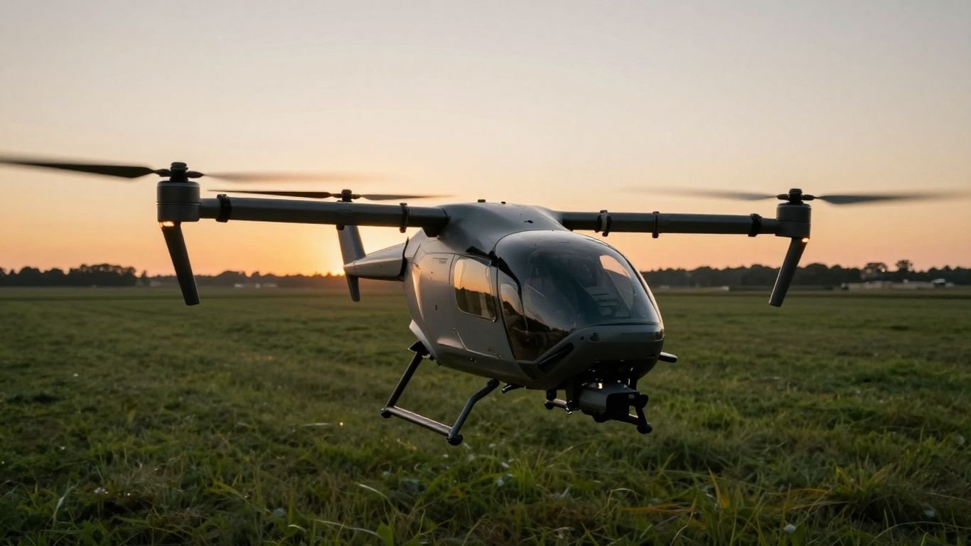
The Vector Quantum Systems architecture is built upon a fixed-wing design combined with electric vertical takeoff and landing (eVTOL) capabilities. This hybrid configuration allows it to operate without runways, transitioning seamlessly between hovering and efficient forward flight. Its lightweight airframe is engineered to handle varied environmental conditions, maintaining structural integrity through complex maneuvers.
Key mission capabilities
Equipped for reconnaissance and data collection, the system handles complex aerial maneuvers with internal guidance technology. The mission versatility is supported by flexible software architectures that adapt to changing operational environments, providing consistent results across different theaters of use. Efficiency in flight planning is a core benefit for teams needing rapid deployment in dynamic scenarios.
Integration with the Quantum Systems ecosystem
The platform fits within broader Quantum-Systems GmbH frameworks, facilitating communication between aerial assets and ground control stations. This connectivity ensures that data captured aloft is transmitted securely to operators for immediate analysis. The ecosystem is designed to minimize the complexity of manual configuration, allowing teams to focus on mission objectives rather than technical overhead.
Essential technical capabilities
Flight autonomy and data linkage
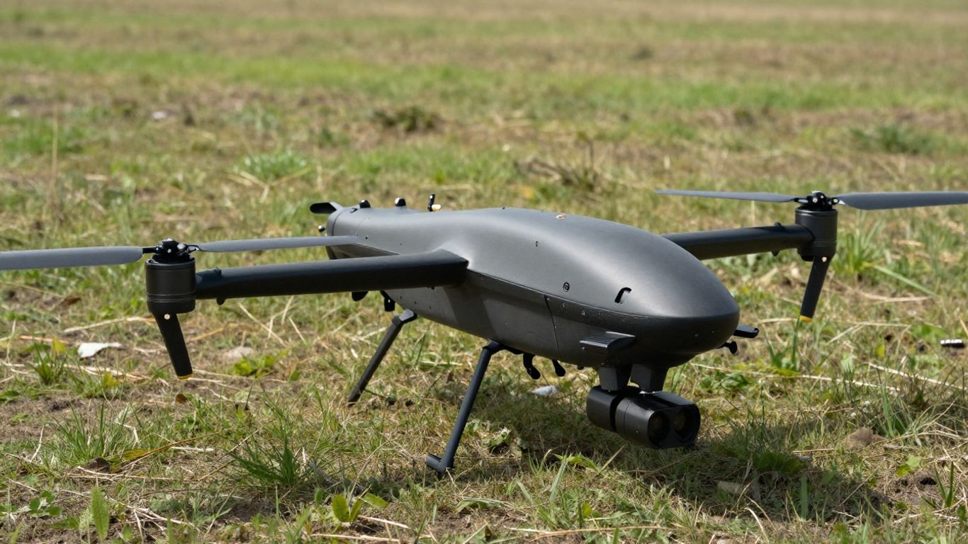
Autonomous flight paths are managed by an onboard computer that processes navigation data in real-time. This provides stable operation even when external signals are limited, helping the craft maintain its course through difficult terrain. High-bandwidth data links ensure reliable encrypted communication streams between the airborne unit and its operator, which is essential for maintaining situational awareness.
Payload versatility and sensor integration
Payload options allow users to customize the drone for specific operational goals. Whether for thermal imaging, high-resolution photography, or acoustic monitoring, the system integrates these sensors within a unified data pipeline. This versatility allows one single platform to satisfy varied requirements, from infrastructure monitoring to tactical support.
Operational endurance and battery performance
The system is engineered to optimize power consumption throughout various flight stages. By utilizing advanced battery management algorithms, the drone balances flight duration against payload weight, ensuring extended time in the air. This endurance is documented to support consistent mission lengths for professional surveying and surveillance tasks.
Deployment and field operation
Launch and landing procedures
Operating the drone in the field requires minimal physical infrastructure due to its vertical takeoff design. Launch sequences involve automated pre-flight checks that verify system readiness before clearing the aircraft for departure. This automation reduces the margin for human error, ensuring safe transitions in compact or remote areas.
User interface and operator training
The ground control interface provides a clear view of the drone’s status, sensor inputs, and flight parameters. Operators can effectively manage the flight trajectory while monitoring incoming data streams on a unified display. Professional training programs help teams master these controls, translating complex system telemetry into actionable reconnaissance.
Field maintenance and hardware diagnostics
Maintaining the kit in a ready state is supported by internal diagnostic tools that report system health. Field teams utilize these insights to identify parts that require attention before they impact performance. This proactive approach ensures the hardware remains mission-ready, even when operating in harsh or distant environments far from a maintenance shop.
Industry applications and use cases
Mapping, surveying, and GIS workflows
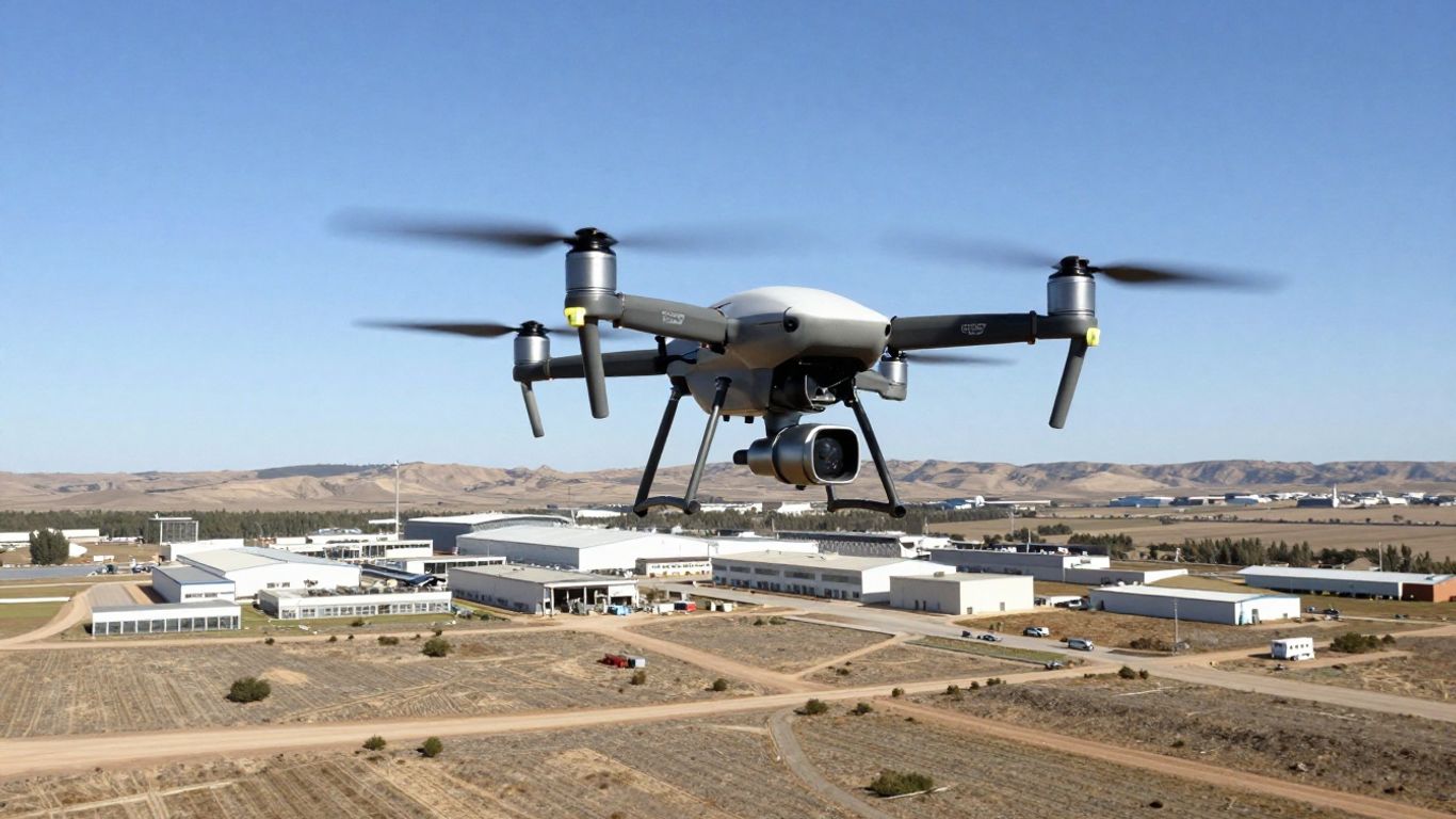
Precision mapping is a core function, with the platform’s high-definition sensors capturing detailed topographical information. Teams utilize these high-accuracy outputs to build comprehensive 3D models for geographic analysis. This capability serves as a vital component for 714c research and planning, providing the foundational data needed for large-scale development.
Security and surveillance operations
Security teams rely on the system to provide persistent aerial perspectives across contested or obscured zones. Acoustic and optical sensors work in tandem to track movements while maintaining a low profile in the air. The following table summarizes the primary security capabilities provided by the platform:
| Feature | Benefit | Operational Role |
|---|---|---|
| Onboard Processing | Edge-based data analysis | Rapid target identification |
| Secure Link | Encrypted transmissions | Data breach prevention |
| VTOL Agility | Rapid entry to sites | Rapid field deployment |
The integration of these features allows for safer deployment compared to manual monitoring methods, especially in complex urban environments.
Agricultural and infrastructure monitoring
Agriculture and infrastructure sectors utilize the drone to perform regular site surveys. The platform provides a bird’s-eye view that allows managers to inspect components or crop health without exposing personnel to hazards. The following list outlines the primary activities enabled by such deployments:
- Regular visual inspections of pipeline networks.
- Detailed checks of solar panel installations.
- Monitoring plant stress levels across large plots.
- Detecting structural failures in remote bridges.
These activities help in maintaining optimal site performance while reducing the frequency of manual equipment inspections.
Regulatory compliance and airspace safety
Navigating local aviation regulations
Operators must adhere to regional laws governing unmanned flight to maintain safety. Utilizing the platform within established frameworks often involves following specific flight path protocols that protect sensitive airspace and public zones. Understanding these d22a standards is a prerequisite for any professional deployment in civilian or tactical areas.
Remote ID and connectivity features
Connectivity modules provide identity broadcasting to ensure the aircraft is identifiable to local authorities during flight. This feature assists in maintaining transparent operations, especially in mixed-use airspace where aircraft movement must be coordinated. The system’s design emphasizes compliance with modern safety mandates and open information standards.
Data security and encryption protocols
Data privacy is protected through end-to-end encryption, ensuring that information captured during missions remains secure. This architecture prevents unauthorized access to the sensor feeds, providing peace of mind for organizations working on classified or proprietary assessments. Secure storage protocols round out the platform’s data management capabilities.
Buying considerations and support
Assessing specific project requirements
Potential buyers should evaluate their project’s technical needs against the drone’s established capabilities. Factors such as flight range, sensor specificities, and expected deployment frequency are fundamental to selecting the right variant. Choosing a configuration that aligns with these requirements ensures the investment delivers value from the first mission.
Availability of training and certification
Professional certification programs help ensure that flight crews are competent in both the operation and maintenance of the system. These programs, frequently offered through established partner networks, provide the hands-on experience necessary for high-stakes operation. A well-trained operator is instrumental to the overall safety and success of your fleet.
Post-purchase support and software updates
Long-term support is essential for maintaining a competitive edge in flight technology. Manufacturers provide periodic firmware updates that enhance the drone’s internal features, keeping the system up to date with modern reconnaissance standards. Reliable access to technical resources and responsive service teams helps organizations resolve issues quickly and keep their assets operational.
Conclusion
The Vector drone stands as a sophisticated tool for diverse professional environments, blending autonomous navigation with adaptable payload options. By maintaining rigorous data security and high performance in the field, it continues to serve as an indispensable asset for mapping, surveying, and security applications worldwide.
Frequently Asked Questions
Can drones be flown without a stable satellite link?
Yes, many modern autonomous systems are designed to operate using internal sensors for navigation, allowing for reliable movement through areas that lack satellite connectivity.
What determines how long a drone stays in the air?
Flight duration is primarily influenced by battery capacity and the weight of the attached sensor payload, as well as environmental factors like wind speed and air density.
Are software updates necessary for drone performance?
Regular updates are critical for maintaining security and ensuring the onboard flight software remains compatible with current operational and regulatory standards.
Do heavy-lift drones require special handling?
Yes, drones designed for heavier payloads often require more robust maintenance routines and specific storage protocols to ensure the longevity of their propulsion systems.
Can drones operate during adverse weather conditions?
Many professional-grade systems are engineered for environmental resilience, but specific limitations regarding precipitation and wind speed should always be reviewed in the technical specifications.
What is the purpose of a ground control station?
This unit acts as the command center for the operator, providing a stream of live telemetry data and allowing for real-time adjustments to mission parameters.
How does sensor integration improve mission efficiency?
By allowing multiple types of data to be captured on a single flight, integrated sensors reduce the need for repeat sorties and speed up the overall analysis of gathered intelligence.