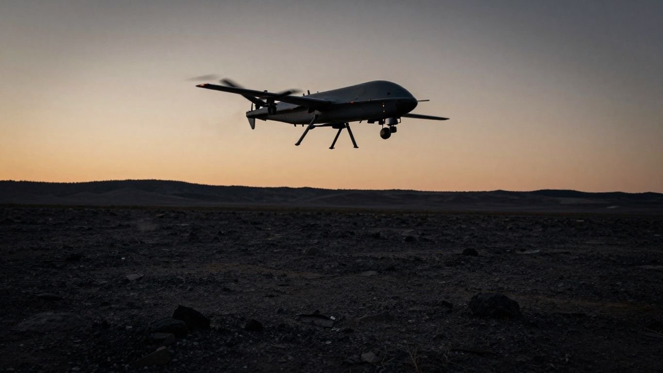
Reviewing the Teal 2: Is the Teal 2 Teal drone superior for tactical operations?

Key Takeaways
The Teal 2 drone represents a major shift in aerial reconnaissance, balancing high-end thermal capabilities with secure, modular design. This system provides critical insights across diverse mission profiles while maintaining strict compliance with modern security frameworks.
- Advanced thermal imaging enables visibility in total darkness.
- Modular architecture facilitates rapid field maintenance and payload swaps.
- Blue UAS certification ensures compliance for government and military use.
- Real-time data encryption protects sensitive information and command links.
- Tactical agility makes it effective for both civil and defense applications.
Features of the Teal 2 aerial system
The Teal 2 is engineered to support mission-critical tasks in demanding environments. This platform prioritizes ease of use and structural integrity, ensuring that operators can maintain focus on the objective at hand rather than the technology itself.
Design architecture and hardware build
The core of the Teal 2 lies in its ruggedized construction, designed for durability in harsh operational theaters. Unlike standard commercial systems, this aircraft uses high-quality materials that resist impact and environmental fatigue, allowing it to withstand rigorous use. Modular components allow for quick field-level repairs, reducing downtime when consistency is essential for ongoing reconnaissance.
Weight distribution and flight stability
Proper center-of-gravity management remains vital for long-range flight control. Engineers have optimized the airframe to handle payloads without sacrificing the steady hover necessary for detailed capture. During shifts in environmental conditions, the platform maintains flight stability, ensuring that sensor data remains usable for high-stakes decision-making. By balancing the weight of the battery with the onboard sensor suite, the aircraft achieves a versatile flight profile that supports varied operational requirements.
Connectivity options for field operations
Operators often work in contested signal environments, necessitating resilient communication channels. The Teal 2 features secure links that allow for stable command over extended distances, even when latency presents a challenge. These connectivity tools are designed to work seamlessly with existing hardware, bridging gaps between remote units and local command centers.
Technical specifications and sensor performance
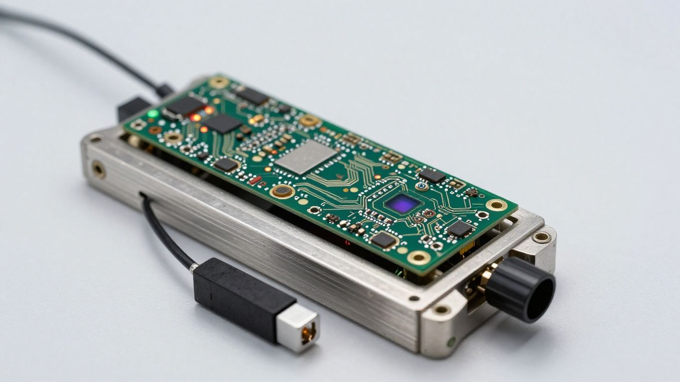
Precision sensing forms the backbone of any reconnaissance mission, and this platform is built to deliver clarity where others struggle. The following table illustrates the capabilities of the integrated imaging system:
| Feature | Specification | Use Case |
|---|---|---|
| Thermal Resolution | 640 x 512 | Threat Identification |
| Zoom Capability | 16x Digital | Long-distance Scouting |
| Night Capability | Full Thermal | Low-light Surveillance |
Teledyne FLIR Hadron 640R sensor capabilities
The inclusion of the Hadron 640R brings high-resolution thermal imaging to the small unmanned aircraft space. This sensor acts as a force multiplier, allowing operators to distinguish objects through heat signatures that are otherwise invisible to the naked eye. Integrating such power in a small form factor provides teams with tactical advantages during day or night operations.
Optical zoom and thermal resolution benchmarks
Clear identification of potential obstacles requires precise zoom and imaging capabilities. The system balances high-resolution data with digital zoom options, allowing personnel to inspect items of interest from a safe standoff distance. This resolution performance is essential for verification tasks, where pixel depth directly determines the accuracy of reported findings.
Performance metrics in low-light environments
Low-light performance is the primary indicator of mission success in nocturnal settings. By leveraging specialized thermal palettes, this Teal 2 technology ensures that operators can navigate shadows and identify movement without creating an infrared signature that would betray their position, providing a clear edge in sensitive reconnaissance.
Security and software infrastructure
The integrity of transmitted data is as critical as the hardware itself. The platform manages information through layers of security designed to prevent interception and maintain the complete chain of custody for all aerial intelligence.
Blue UAS framework compliance
Adherence to rigorous government standards allows this platform to operate within secure networks, meeting essential requirements for defense and federal use. This Blue UAS designation serves as a validation of the architectural security, ensuring that the technology meets the necessary criteria for trust in sensitive environments. By following these guidelines, the manufacturer eliminates concerns regarding compromised hardware or data leaks.
Data encryption standards for information security
Security is embedded at every level, from video transmission to the command and control link. Advanced encryption protocols, such as AES-256, ensure that all collected metrics remain confidential and tamper-evident. Secure communication pathways are fundamental to preventing third-party interference during flight operations, safeguarding the privacy of the mission output.
Software updates and secure communication channels
Firmware stability is maintained through controlled update cycles that patch vulnerabilities without interrupting mission-critical uptime. Secure channels ensure that updates are delivered directly to the platform, preventing the introduction of unknown code during the aircraft’s lifecycle. Maintaining secure conduits for data exchange is a vital part of long-term operational success.
Operational deployment and field utility
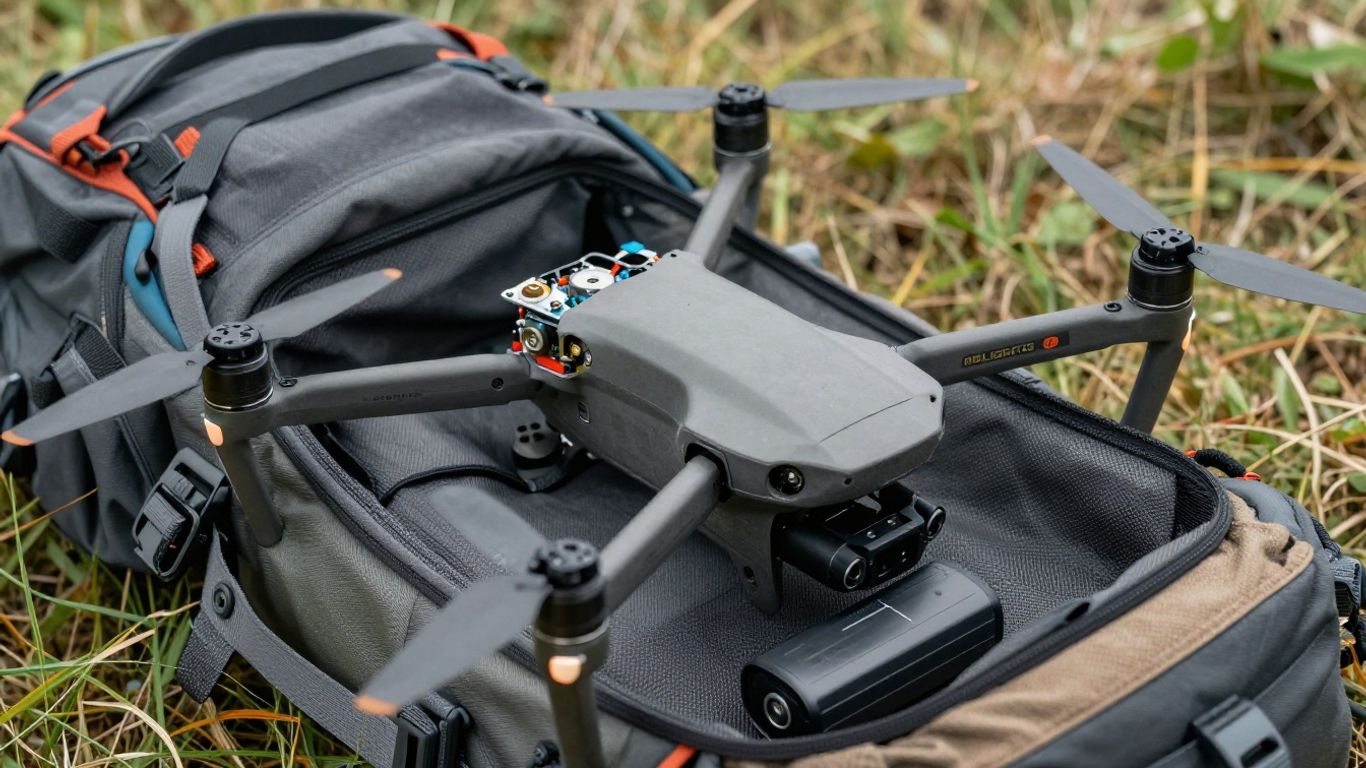
Deploying complex equipment in the wild requires intuitive design and reliable performance. The system is built to minimize the time between transport and launch, allowing for swift mission initiation.
Setup time and modular components
Minimal setup times depend on the integration of intuitive, snap-fit components. Personnel can swap payloads or batteries in seconds, enabling rapid transition between different reconnaissance tasks without the need for specialized tools. This efficiency allows individual users to deploy quickly when field circumstances change.
Battery life and charging ecosystem
Efficient energy management determines how long an asset can remain airborne to observe key areas. The battery architecture is optimized for discharge performance, providing enough airtime for full mission execution while maintaining a charging cycle that fits into tactical logistics workflows. Maintaining consistent power is essential for persistent awareness.
Environmental resistance and durability standards
Field utility is guaranteed by the housing’s ability to survive varying climates, from extreme heat to airborne debris. The construction adheres to durability standards that ensure internal electronics remain clean and functional. Protecting against moisture and dust allows for operations in environments that would otherwise degrade traditional precision hardware.
Advanced tactical applications
Advanced missions require more than just flight control; they require intelligence processing and strategic execution. By integrating with existing command structures, the platform serves as a critical asset for modern decision-making.
Surveillance and reconnaissance mission profiles
Standard missions often involve monitoring terrain and tracking movement for extended periods. The platform supports these objectives by maintaining a stable hover and reporting information back to base in real time. This capability enhances the ability of ground units to understand their surroundings without risking personnel in hostile terrain.
Integration with ground control stations
Interoperability with ground stations ensures that imaging data reaches decision-makers immediately. This connectivity allows for coordinated action between the unit on the ground and the operator of the aircraft, ensuring a unified view of the operational theater. Seamless integration reduces reaction times when seconds count.
Use cases for search and rescue operations
Locating individuals in difficult terrain is simplified using thermal sensors and high-end reconnaissance suites. During search and rescue, the ability to see through dense foliage and identify heat signatures makes a significant difference in recovery times. By acting as a force multiplier for volunteer and professional search teams, the system saves lives in challenging conditions.
Comparing the Teal 2 to previous generations
Improvements in aerial technology focus on iteration and refinement of existing strengths. Compared to earlier models, current iterations show clear shifts in flight performance and sensor integration.
Benchmarking flight time improvements
Compared to earlier generations, current platforms have extended flight durations without significant increases in weight. Enhanced battery chemistries and lighter airframe configurations contribute to these measured improvements. Longer flight windows allow for more comprehensive mission coverage, reducing the frequency of landing and relaunching.
Evolution of imaging technologies
Older systems often struggled with low-light clarity and thermal noise. Recent advancements have introduced higher bit-depth sensors and noise-reduction filters, resulting in a cleaner image environment. These changes represent a logical evolution toward more data-rich reconnaissance, making it easier for human operators to interpret live feeds.
Advancements in navigational autonomy
Navigation software has matured significantly, reducing the manual burden on the pilot during complex maneuvers. Autonomous flight modes, such as terrain following and waypoint tracking, allow the aircraft to operate with less intervention. These advancements in stability and pathing ensure that even novice operators can achieve high-quality data collection in variable conditions.
Conclusion
The adoption of advanced aerial reconnaissance systems has simplified how tactical teams gather intelligence in high-stakes settings. By prioritizing modularity, security, and high-fidelity thermal imagery, these platforms provide reliable, actionable data for complex missions. As technology continues to evolve, the integration of autonomous navigation and secure data protocols will remain central to operational success.
Frequently Asked Questions
What are the primary benefits of thermal aerial imaging?
Thermal imaging allows users to detect heat signatures in environments where optical cameras would see nothing, which is vital for nighttime navigation and heat-based target detection.
Is it difficult to learn how to pilot a professional reconnaissance drone?
While professional systems offer complex features, modern user interfaces have greatly reduced the learning curve, allowing operators to focus on mission goals rather than manual flight adjustments.
How does environment affect flight duration?
High winds, extreme temperatures, and heavy payloads all force the battery to discharge faster, typically leading to shorter flight times compared to ideal conditions.
Can these drones operate in GPS-denied environments?
Advanced models utilize visual positioning and inertial navigation systems to maintain stability even when external GPS signals or satellites are unavailable or jammed.
What does it mean for a drone to be modular?
A modular design allows for the quick swapping of parts such as cameras and battery packs by hand, which is essential for field repairs or changing payload sensors on demand.
Are professional drones secure against data interception?
Systems built for professional and government use include encryption for both video feeds and flight data, which ensures that unauthorized parties cannot access sensitive link transmissions.
Should search and rescue teams upgrade to specialized thermal drones?
Units that frequently operate during dusk or night time or in dense cover benefit significantly from the persistent, low-light viewing capabilities that high-resolution thermal sensors offer.