RQ-4 Global Hawk: A Guide to High-Altitude Strategic ISR

Key Takeaways
The RQ-4 Global Hawk is a high-altitude, long-endurance uncrewed aircraft used for strategic intelligence, surveillance, and reconnaissance. Its value comes from pairing time aloft with sensors and a process for turning collected information into something people can use.
- ISR combines intelligence collection, observation, and reconnaissance to build a clearer picture of an area or situation.
- Long missions can provide broad, repeated coverage, but they still depend on careful planning and reliable communications.
- Radar and electro-optical or infrared sensors collect different kinds of information; the mission determines which matters most.
- Collected data must be transmitted, processed, interpreted, and shared before it can support decisions.
- Weather, airspace, bandwidth, cost, and availability all shape what persistent surveillance can deliver.
The Global Hawk’s role in strategic ISR
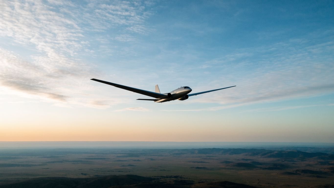
The RQ-4 Global Hawk is commonly described as a high-altitude, long-endurance aircraft for strategic intelligence, surveillance, and reconnaissance. Its role is not simply to remain in the air: it is to collect information across broad areas and help users understand what is happening over time. The phrase RQ-4 Global Hawk High-altitude strategic ISR captures this combination of platform, operating altitude, and mission purpose.
What intelligence, surveillance, and reconnaissance means
Intelligence, surveillance, and reconnaissance—usually shortened to ISR—describes a connected process, not one sensor or a single kind of image. Surveillance involves observing an area or activity over time, while reconnaissance gathers information to answer particular questions; intelligence work interprets collected material in context. Together, these steps help decision-makers form a more informed picture, though the picture is always shaped by what was tasked and what could be collected.
Why high-altitude, long-endurance missions matter
A platform that can remain aloft for extended periods may revisit an area or sustain observation longer than a shorter mission allows. Operating at high altitude can also support broad-area collection, although the actual coverage depends on the sensor, route, tasking, and conditions. Persistence is useful when change over time matters, but it does not mean every location is observed continuously or equally well.
How the aircraft supports military and civilian users
Strategic ISR can inform military planning by providing information about activity across a wide region. Similar kinds of observation can also be relevant to civilian needs such as environmental monitoring or disaster assessment, but the specific use of an aircraft depends on its operator, mission authorization, and available equipment. The aircraft gathers information; people and organizations decide how to interpret and apply it.
Where the Global Hawk fits among uncrewed aircraft
Uncrewed aircraft range from small systems used close to the ground to larger platforms intended for longer, broader missions. The Global Hawk belongs to the high-altitude, long-endurance category, so it is best understood through its strategic scale rather than as a direct substitute for every smaller reconnaissance aircraft. For a contrast with a ground-force platform, see this overview of the RQ-7B Shadow, whose tactical ISR role is described in a different operational context.
How the aircraft is designed for long missions
Long-duration ISR depends on more than the aircraft’s ability to stay airborne. The route, sensor plan, communications arrangements, and ground team all have to work together across a mission that may cover a large area. The system is therefore best viewed as an aircraft plus the people and support processes needed to operate it.

High-altitude flight and wide-area coverage
Flying high can give sensors a broad view, but altitude alone does not determine how much useful information a mission gathers. Sensor characteristics, the direction and pace of flight, the target area, and atmospheric conditions all influence what can be seen. A wide view is valuable for setting context, while detailed observation may require a more specific sensor task or flight plan.
Endurance, range, and mission planning
Endurance and range are planning inputs, not guarantees of uninterrupted coverage. Mission planners must account for where the aircraft needs to go, how long it can remain on task, and how the collection plan fits the operational timeline. The Global Hawk overview summarizes the platform’s high-altitude, long-endurance role; any individual mission still depends on its configuration and tasking.
Ground control and remote operation
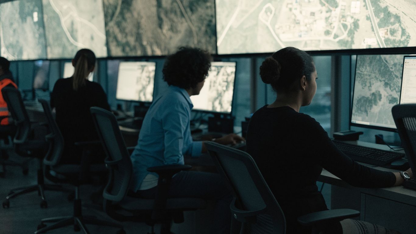
Remote operation shifts much of the mission’s work to ground-based crews and systems. Those teams plan and monitor the flight, coordinate sensor activity, and respond to changing conditions; the aircraft is not simply left to operate without oversight. This arrangement also makes communications and clear division of responsibilities essential parts of the mission design.
Design trade-offs for persistent surveillance
A long mission calls for choices among coverage, sensor use, communications, and the time available for analysis. No single configuration or route can maximize every factor at once, so planning is a matter of matching the collection approach to the question at hand. A few recurring considerations show why the mission is designed as a system rather than around endurance alone:
- Set collection priorities before the aircraft reaches the area of interest.
- Match sensor tasks and route choices to the information being sought.
- Plan how collected data will reach the people who need to assess it.
- Allow for weather, communications interruptions, and changing operational needs.
These decisions shape the usefulness of the flight as much as time aloft does. Persistence creates an opportunity to observe, while planning determines how that opportunity is used.
Sensors and intelligence collection
An ISR aircraft collects information through sensors selected for the mission. Public descriptions of the Global Hawk refer to radar imaging and electro-optical or infrared imagery, though the equipment and combinations can differ by aircraft configuration. The sensor is only one part of collection quality: tasking, conditions, and how the data is handled also matter.
Radar imaging and moving-target detection
Radar can collect information by transmitting and receiving radio-frequency energy, which allows it to form imagery without relying on visible light. Some radar systems can also support the detection of movement, but the precise capability depends on the installed equipment and configuration. It is useful to distinguish radar’s general role from claims about a specific aircraft’s exact performance or output.
Electro-optical and infrared imagery
Electro-optical sensors collect imagery in visible portions of the spectrum, while infrared sensors detect thermal energy. These forms of imagery provide different kinds of information and may be useful under different lighting or observation conditions. They are not interchangeable, and neither one alone explains the full context of what an image shows.
Choosing sensors for mission requirements
A collection plan begins with the question users need answered, then considers which sensor can provide relevant information. A broad-area search, an image of a fixed feature, and attention to movement call for different tasking choices. This table is a high-level guide to those distinctions, not a specification sheet for every Global Hawk configuration.
| Collection need | Sensor approach | What it can contribute |
|---|---|---|
| Broad-area observation | Radar or imagery, as tasked | A wider view of an area |
| Visible scene detail | Electro-optical imagery | Visual information about features and activity |
| Thermal observation | Infrared imagery | Information based on emitted heat |
| Movement-related questions | Radar configured for the task | Indications of movement, where supported |
The table describes broad sensor roles rather than guaranteed results. Mission planners have to consider the aircraft’s actual configuration and the conditions in which collection will take place.
Factors that affect collection quality
Collection quality depends on whether the sensor is suited to the task and whether the conditions allow it to gather useful information. Weather, visibility, distance, the angle of observation, and platform movement can all affect imagery or detection. Analysts also need enough context to distinguish a meaningful observation from an incomplete or ambiguous one.
From collection to usable intelligence
Raw collection does not become useful intelligence by itself. A mission needs a plan for what to observe, a way to move the resulting data, and people who can assess it in light of the question being asked. The handoff between these stages is often where the practical value of a long flight is realized.
Planning routes and sensor tasks
Mission planning connects the area of interest to a route, schedule, and set of sensor tasks. Planners must decide what information is most useful, where collection should focus, and how priorities may change during the flight. A clear plan helps the crew and analysts understand not only what is being collected, but why.
Transmitting data to ground stations
Collected information must reach a ground station or another authorized recipient through available communications links. The amount and timing of data transfer can be constrained by bandwidth, distance, link availability, and operational requirements. For that reason, collection and transmission plans need to account for what can be sent promptly and what may need to be handled later.
Processing and analyzing collected information
Once information arrives, processing and analysis help turn it into material that can answer operational questions. Analysts review what was collected, consider its limitations, and compare observations with relevant context rather than treating a sensor output as a complete explanation. The same phrase, turning inputs into useful outputs, is used in unrelated fields too: electrolyte guidance, enterprise AI stages, real estate marketing, HR study advice, and the Report Generation API describe different subjects, not ISR tools or sources.
Sharing intelligence with operational users
The final step is sharing assessed information in a form that fits the needs of its intended users. A timely report may be more useful than a large volume of unprioritized data, especially when decisions are being made under time pressure. The people receiving it also need enough context to understand what is known, what remains uncertain, and when the observation was made.
Mission applications and operational considerations
Wide-area observation can be relevant wherever users need a broader picture of a place or changing conditions. The specific value of a flight depends on the task, the sensor configuration, and whether the resulting information reaches users in time to matter. Operational constraints are part of that picture from the beginning, not footnotes added after collection.
Monitoring large or remote areas
An aircraft suited to long missions may be tasked to observe areas that are difficult to monitor from the ground or that extend across a large region. Broad coverage can help identify where more focused attention may be needed, but it does not mean every detail will be visible. The mission still has to define what to look for and how often the area needs to be revisited.
Supporting situational awareness and disaster response
Aerial observation can contribute to situational awareness when a region is changing or difficult to access. In disaster response, imagery and other collected information may help responders understand conditions, subject to mission authorization, communications, and the sensors available. This is a potential application of ISR methods, not a claim that every aircraft or operator performs every such mission.
Operating across airspace and communications constraints
Operating an uncrewed aircraft requires coordination with airspace rules, flight planning, and the relevant authorities. Communications links also influence how remote crews monitor the aircraft and how quickly information can be delivered. A mission plan must account for these constraints alongside weather, location, and the needs of other airspace users.
Balancing persistence, coverage, and timely reporting
A mission that emphasizes broad coverage may not provide the same focus as one aimed at a specific area or question. Similarly, collecting more data is not automatically better if users cannot receive or interpret it in time. The useful balance is the one that connects a defined information need to a realistic collection and reporting schedule.
Strengths, limitations, and the platform’s future
The Global Hawk’s high-altitude, long-endurance role offers a way to collect information over extended missions and broad areas. Those strengths do not remove the practical limits of sensors, communications, weather, or human analysis. A fair assessment weighs what the aircraft can contribute against the conditions and support required to use it.
Advantages over shorter-endurance aircraft
Longer time aloft can support extended observation or repeated collection over an area, while high-altitude operation can provide a broad perspective. These traits may be useful when a mission calls for strategic coverage rather than a brief, close-range view. They do not make other aircraft unnecessary; different missions call for different scales, locations, and collection approaches.
Weather, bandwidth, and sensor limitations
Sensors have limits, and the information they collect can be affected by weather, visibility, distance, and the type of task. Communications capacity affects how much data can be moved and when it becomes available to users. Even when collection succeeds, interpretation can remain uncertain if the observation is incomplete or lacks context.
Costs, maintenance, and operational availability
A complex aircraft and its supporting ground systems require people, maintenance, planning, and operating resources. Availability depends on the condition of the aircraft and support equipment, as well as the ability to staff and schedule a mission. These practical factors influence how often a platform can be used; they should be considered alongside its technical capabilities.
Modernization and the changing ISR environment
ISR needs and supporting technologies change over time, so platforms may require updates to equipment, communications, or ground operations. Modernization decisions have to consider compatibility, training, cost, and the missions the system is expected to support. The broader challenge is to keep collection relevant while preserving a clear understanding of what each configuration can—and cannot—do.
Conclusion
The RQ-4 Global Hawk illustrates how high-altitude, long-endurance flight can support strategic ISR, but the aircraft is only one part of the process. Mission planning, sensor choice, communications, analysis, and operational constraints all shape whether collected information becomes useful to the people who need it. Understanding those connections offers a more realistic view of both the platform’s value and its limits.
Frequently Asked Questions
What does ISR stand for?
ISR stands for intelligence, surveillance, and reconnaissance. The term describes collecting and interpreting information to build a clearer understanding of an area, activity, or situation.
What does high-altitude, long-endurance mean?
It describes an aircraft designed to operate at high altitude and remain airborne for extended missions. Actual endurance and coverage depend on the aircraft, mission plan, equipment, and conditions.
Why use an uncrewed aircraft for surveillance?
An uncrewed aircraft can be remotely operated to collect information without a pilot aboard the aircraft. Whether it is suitable depends on the mission, the operating environment, and the support systems available.
What kinds of sensors are used for aerial ISR?
Aerial ISR can use radar, electro-optical imagery, and infrared imagery, among other sensor types. The equipment selected depends on the information users need and the aircraft configuration.
Does radar work the same way as a camera?
No. A camera-like electro-optical sensor collects visible imagery, while radar uses radio-frequency energy to gather information. Each has different strengths and limitations, and their outputs require interpretation.
How does collected data become useful intelligence?
Data is transmitted, processed, reviewed, and interpreted in relation to a specific question or operational need. Analysts also communicate uncertainty and limitations so users can understand what the information does and does not establish.
What can limit an ISR mission?
Weather, sensor performance, communications capacity, airspace rules, mission duration, and the availability of people and equipment can all affect a mission. These factors influence both what can be collected and how quickly it can reach users.