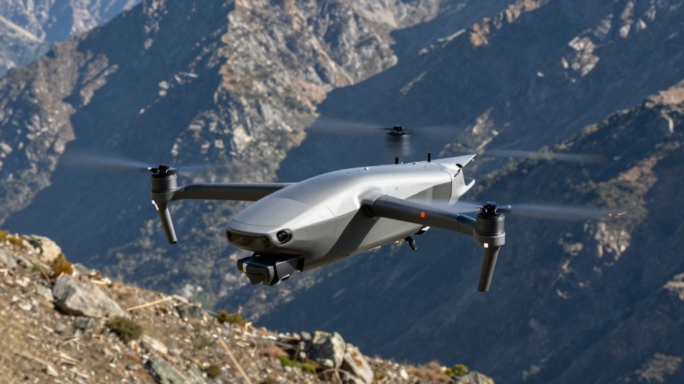
A comprehensive guide to the Edge 130 FlightWave Aerospace Systems

Key Takeaways
The Edge 130 represents a significant advancement in autonomous aerial reconnaissance and data collection capabilities. Its unique hybrid flight architecture offers both operational efficiency and mission versatility for demanding environments.
- Combines VTOL convenience with long-range fixed-wing flight efficiency.
- Features a rapid tool-free payload system for flexible mission adaptability.
- Incorporates advanced autopilot systems for autonomous transition and flight.
- Serves as a critical component in the integrated family of systems.
- Designed for rapid deployment by a single operator in challenging terrain.
Overview and design architecture
The Edge 130 FlightWave Aerospace Systems platform is a versatile military-grade tricopter that bridges the gap between vertical takeoff and high-endurance forward flight. Engineers designed the architecture to handle the complex requirements of modern tactical environments while remaining lightweight enough for field transport. By integrating advanced aerodynamics with high-quality materials, the system ensures reliability for operators in both defense and industrial sectors. The overall design philosophy focuses on maximizing mission time while minimizing the complexity of onsite equipment setups.
VTOL capabilities and flight mechanics
The aircraft utilizes a distinctive hybrid multi-rotor and fixed-wing approach to flight. By employing its unique thrust-vector control systems, it can take off vertically just like a traditional drone, before seamlessly transitioning to efficient, long-range fixed-wing flight for the duration of the mission. This transition occurs autonomously, removing the burden of manual flight mode switching from the user and ensuring smooth operation in varying wind conditions.
Modular hardware design and configuration
Modular engineering serves as a core pillar for this platform, particularly regarding its field-ready hardware. The aircraft uses a weather-tight connection interface that allows operators to secure components without requiring any specialized tools. This design ensures that teams can quickly adapt to diverse mission needs, whether they are performing a high-resolution survey or tasked with critical reconnaissance missions on the fly.
Role within the Red Cat ecosystem
As part of the Red Cat family, the aircraft functions as a central element for tactical ISR operations. The ecosystem aligns various robotic systems, including specialized precision strike suites and smaller aerial vehicles, to support military and commercial objectives across different environments. By integrating these systems, users gain a cohesive approach to battlefield information-gathering and rapid response capabilities.
Key performance metrics and flight characteristics
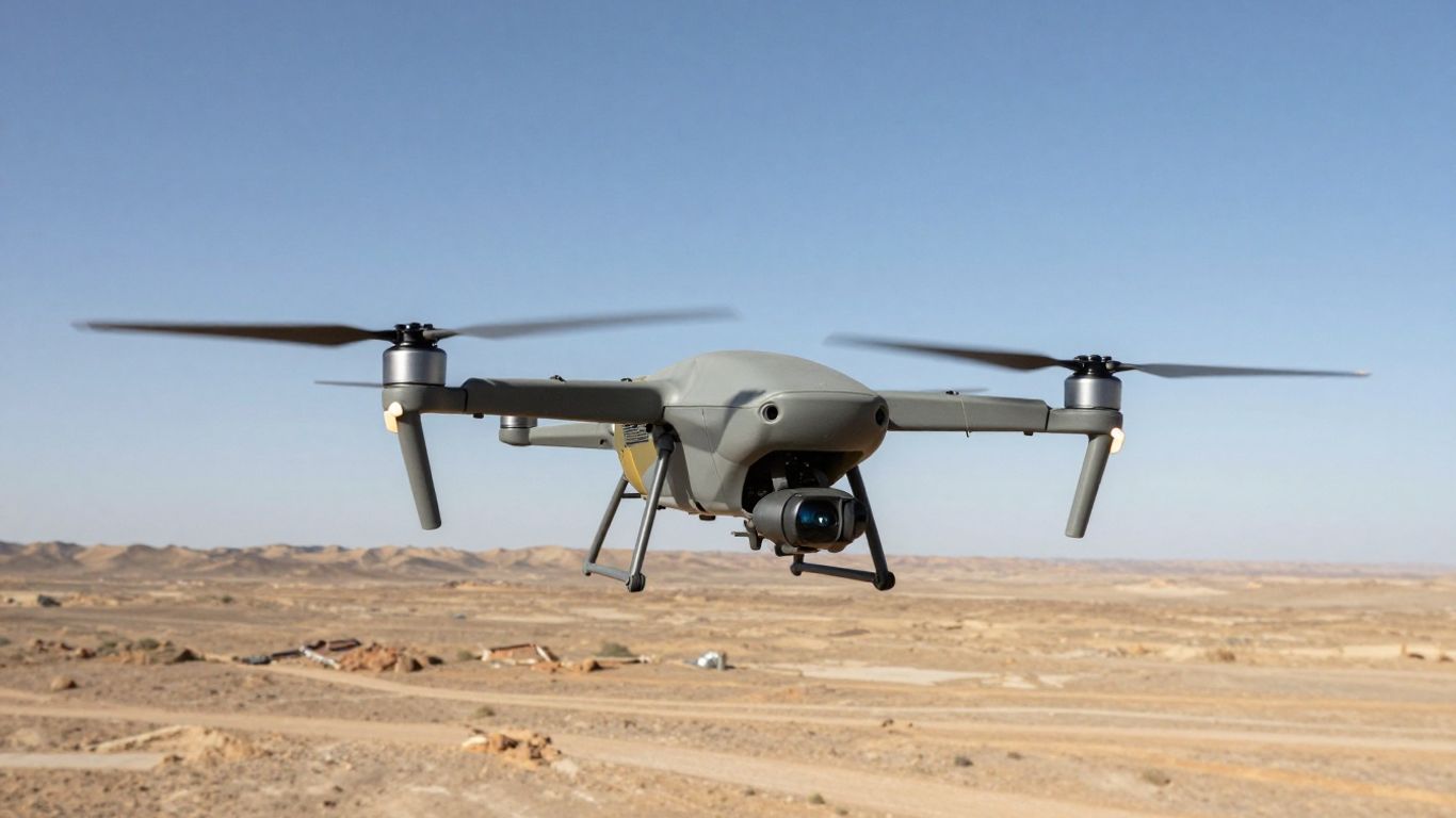
Performance metrics are defined by the ability to remain effective across extended durations while maintaining precision in sensor performance. The vehicle is engineered to provide persistent situational awareness, which is vital for long-range operations in areas where landing sites are limited or infrastructure is non-existent. Testing validates that the aircraft maintains stable flight profiles at varying speeds, ensuring that mission objectives are met with high confidence even during complex flight paths. The design goal consistently emphasizes endurance without sacrificing the portability that teams require.
Operational endurance and range
When operating in forward flight mode, the system achieves flight durations exceeding ninety minutes, which allows for large-scale area coverage. This endurance is a direct result of its airfoil design and optimized power management during cruise phases. The range capability ensures that teams can monitor substantial perimeters from a safe, remote location, providing persistent eyes on the environment throughout the operational window.
Payload capacity and sensor adaptability
Flexibility in payload choice is critical for matching the specific optical or thermal needs of a given mission. The system supports various swappable units, allowing for immediate configuration changes based on user requirements:
| Payload Type | Resolution/Capability | Best Use Case |
|---|---|---|
| EOIR Gimbal | 640×512 Infrared | Nighttime ISR Reconnaissance |
| Mapping Array | 39MP total | Large-scale Aerial Surveys |
| Color Camera | 4K 30fps | High-accuracy Site Documentation |
Selecting the appropriate payload is a simple process, mirroring the ease of swapping a standard consumer camera lens, ensuring that time on target is maximized without prolonged technical pauses.
Environmental resilience and weather tolerances
Engineers built this platform specifically for the harshest environments found on the modern battlefield. It reliably withstands significant wind gusts and maintains stability in various temperature ranges. The weather-sealed construction protects vital internal electronics from dust and moisture, ensuring that the drone remains flight-worthy even when climate conditions fluctuate unexpectedly during long-range deployments.
Industrial and defense applications
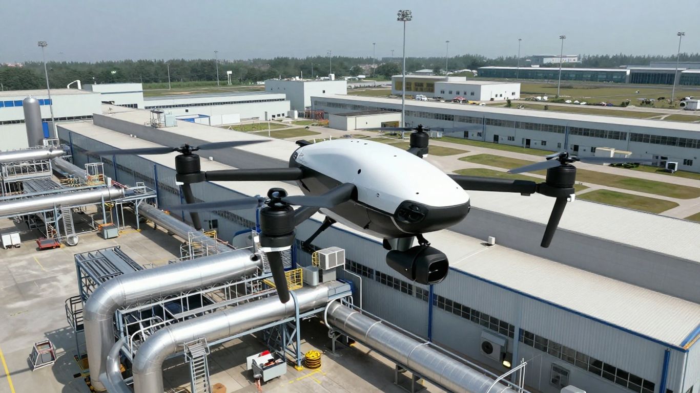
Versatility determines how effectively an aerial platform serves diverse sectors that demand both high precision and reliable performance in the field. Whether for the AgEagle eBee TAC tactical field of view or commercial surveillance needs, the ability to adapt the system provides consistent outcomes for operators. Professional teams require equipment that operates as a force multiplier, reducing the need for human personnel to enter zones of uncertainty or hazardous environments. The following applications highlight its versatility:
ISR operations and situational awareness
Intelligence, surveillance, and reconnaissance (ISR) tasks rely heavily on accurate, real-time data input from the field. Our system supports this by capturing:
- High-resolution color video for immediate target identification.
- Thermal imaging feeds that detect signatures even in low-light conditions.
- Stabilized video streams for persistent monitoring of dynamic environments.
- Encrypted transmission protocols that protect sensitive tactical data.
These capabilities empower tactical units to maintain a superior view of their surroundings, enhancing decision-making cycles during rapid mission execution.
Mapping and aerial surveying workflows
Mapping operations have become significantly more agile with the use of high-resolution CMOS arrays. By flying at calculated altitudes, the drone generates precision imagery that allows for the creation of accurate 3D maps and terrain models. This workflow replaces traditional methods that often required excessive ground time, delivering higher precision in a fraction of the time.
Critical infrastructure inspection use cases
Maintaining complex infrastructure requires consistent visual oversight of assets that are often difficult or costly to access manually. Using this drone, teams can schedule regular inspections of transmission towers, pipelines, and bridge structures, identifying potential maintenance needs before they evolve into significant hazards. This proactive approach helps operators align their efforts around asset safety while reducing risk to workers.
Software and autonomy features
Autopilot technology drives the system’s ability to execute missions with minimal operator interaction, which is vital when managing complex flight patterns in unpredictable areas. The onboard software handles flight stability and navigation, enabling steady data collection even during rapid changes in wind speed. These autonomous features ensure that the focus remains on the intelligence gathered rather than the mechanics of the flight itself.
Advanced flight control systems
Flight control algorithms seamlessly manage the transition between hovering in rotor mode and executing long-range cruising in fixed-wing mode. This autonomous transition functionality is a breakthrough for simplifying flight operations, as it allows users to focus on tactical outcomes rather than managing flight dynamics during takeoff and landing phases.
Data processing and transmission latency
Speed of information is a decisive factor in mission success, especially when working with Easy Aerial Osprey protocols or similar tactical grids. The on-board storage handles high-bandwidth image capture, preventing data bottlenecks, while optimized streaming modules transmit compressed video in real time. This architecture ensures that critical insights reach ground personnel immediately, enabling faster tactical responses.
Compatibility with ground control stations
Integrating the mission planner into existing pilot workflows is streamlined through highly developed software interfaces. The control software allows operators to design flight paths, set waypoints, and observe real-time sensor data from a unified screen. By using standardized protocols, the station maintains a secure link to the aircraft throughout the operational envelope.
Maintenance and logistical support
Simplicity in maintenance and support strategies allows organizations to keep their systems deployment-ready over the lifecycle of the hardware. Providing access to clear training and robust modular components ensures that downtime remains minimal, even for teams operating in remote conditions. Consistency in support is key to ensuring that every flight remains safe and aligned with operational requirements.
Field repairability and modular swapping
Because the hardware incorporates a design that emphasizes rapid component replacement, field teams can address basic maintenance tasks without requiring extensive lab equipment. This modular approach allows for structural parts to be exchanged quickly, keeping the system airborne and preventing mission delays during time-sensitive tasks.
Battery management and charging cycles
Managing power efficiently is essential for maximizing the operational lifespan of the drone. Standardizing battery rotation and monitoring charge cycles ensures safe operation and performance consistency. Intelligent charging systems prevent cell overstress, maintaining battery health even during frequent, high-intensity use cycles across challenging deployments.
Operator training and certification pathways
Instructional programs guide personnel through the complexities of mission planning and safe flight procedures. These training paths focus on both the technical aspects of the autopilot system and the practical skills needed for success in real-world scenarios. Proper certification helps ensure that every operator maintains awareness of safety protocols and airspace standards during every deployment.
Conclusion
The integration of the Edge 130 into modern aerial fleets offers a sophisticated balance of autonomous capability and modular efficiency for both commercial and military needs. Its ability to transition seamlessly between vertical takeoff and long-range fixed-wing flight simplifies complex reconnaissance tasks, allowing for increased persistence and data accuracy in diverse environments. By prioritizing ease of use and field repairability, this platform provides a sustainable and effective solution for organizations aiming to advance their ISR and surveying workflows.
Frequently Asked Questions
How does an autonomous drone manage flight transitions?
Sophisticated flight controllers use thrust-vectoring and aerodynamic analysis to pivot from hover to cruise modes automatically without requiring complex manual inputs from the operator throughout the transition phase.
What are the main benefits of using a modular payload system?
A modular design allows for rapid swapping of cameras and sensors without tools, meaning an operator can reconfigure the aircraft in seconds to shift from mapping to reconnaissance missions based on immediate needs.
Can these aircraft operate in harsh weather conditions?
Yes, the airframes are constructed with weather-tight seals and rugged materials designed to withstand significant wind and temperature fluctuations that would prevent lighter class drones from launching.
What does operational endurance look like for long-range drones?
Operational endurance is measured by the total time an aircraft remains in the air on a single charge, with modern hybrid designs capable of hovering and forward flight durations ranging from ninety minutes to several hours.
How is data transmitted from the aerial platform to the ground?
High-performance RF modules handle data transmission from the onboard storage card, streaming compressed video and high-resolution telemetry securely to the ground control station for real-time analysis.
How long does it take for a single user to assemble the system?
Designed for rapid deployment, these systems incorporate tool-free components that allow a single user to fully assemble and hand-launch the platform in approximately one minute.
What security measures protect gathered aerial data?
Encryption protocols are integrated into the transmission and storage hardware, ensuring that all reconnaissance and survey data remains protected from unauthorized access during and after the mission.