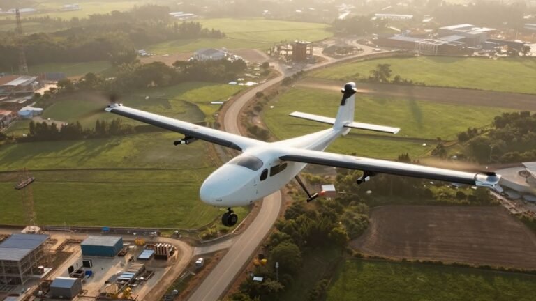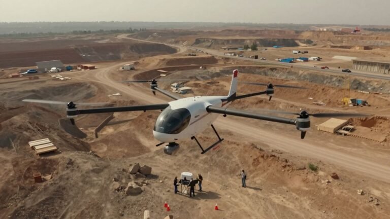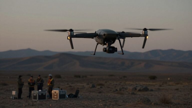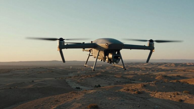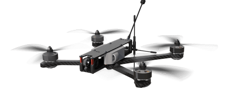

Z1 Zepher Flight Labs: A guide to its hydrogen-powered drone technology
Key Takeaways The Z1 Zepher Flight Labs platform belongs to a growing class of hydrogen-powered unmanned aircraft designed around endurance and flexible deployment. Its promise is substantial, but its practical value depends on testing, infrastructure, regulation, and mission requirements. Hydrogen fuel cells can support longer aerial missions than many battery-only systems. The Z1 is described…