The complete guide to the Skydio X10D platform

Key Takeaways
The X10D Skydio platform defines a new standard for tactical aerial operations through advanced autonomy and professional-grade sensor integration. This overview explains how its features enhance mission efficiency for public safety and defense agencies.
- The modular design ensures mission flexibility across diverse operating environments.
- Environmental resilience is supported by a verified IP55 ingress protection rating.
- Advanced navigation capabilities allow for mission success in GPS-denied locations.
- Sophisticated sensor packages provide high-resolution imaging for reconnaissance and tactical awareness.
- Security and sovereign operation protocols ensure compliance with modern government mandates.
Understanding the capabilities of the Skydio X10D
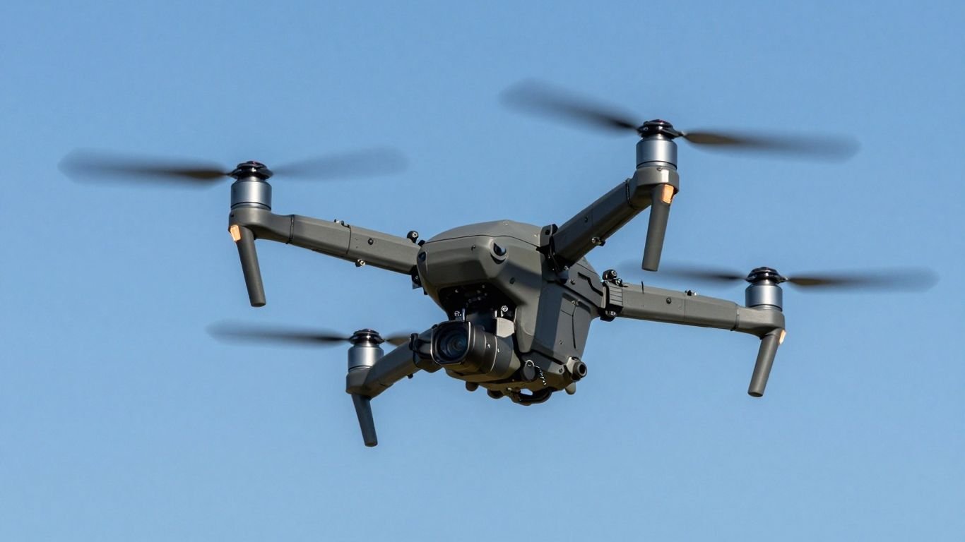
The Skydio X10D platform represents a significant leap in tactical capability by combining high-speed maneuverability with advanced artificial intelligence. It serves as an essential tool for operators requiring immediate situational awareness in high-stakes environments, where rapid decision-making determines the outcome of the entire field mission. By integrating powerful compute hardware with a compact quadcopter drone design, the system manages complex flight paths while maintaining persistent data streams.
Modular design for mission flexibility
The modularity of the system allows teams to swap payload configurations in seconds to suit immediate operational needs. Whether the mission requires thermal detection for search and rescue or visual precision for structure inspection, the architecture is designed to minimize downtime and simplify the logistical burden on squadron personnel.
Environmental resilience and IP rating
Operating in the field requires hardware that can withstand harsh weather, dust, and moisture without compromising performance. The platform maintains a certified IP55 protection rating, which guarantees that internal components remain shielded from environmental debris during extended deployments in challenging climates.
Connectivity options for contested environments
Communication stability is non-negotiable when operating in areas with heavy electronic interference. The integration of multiband radio capabilities allows the system to switch frequencies dynamically, effectively neutralizing common signal jamming attempts and maintaining a secure data link back to the command center.
Technical specifications and sensor packages
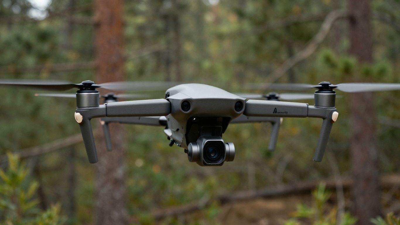
Technical infrastructure is the backbone of effective intelligence, and this platform offers a suite of high-performance sensors that capture critical data. The engineering enables users to see beyond typical limitations, utilizing visionary camera modules that prioritize clarity and precision in varied lighting conditions.
Optical and thermal imaging resolutions
The hardware options differ based on mission requirements, ensuring that every operator has the correct optics. The table below outlines the core differences for standard professional deployments.
| Sensor Module | Primary Camera | Thermal Resolution | Max Zoom Capability |
|---|---|---|---|
| VT300-Z | 64 MP Narrow | 640 x 512 | High Telephoto |
| VT300-L | 50 MP Wide | 640 x 512 | Wide Angle |
| VT100-L | 64 MP Narrow | N/A | Standard Digital |
After selecting the appropriate module, users should ensure the firmware is calibrated for the specific focal length of their lens to maximize image quality.
Night-time reconnaissance performance
Achieving visibility in zero-light scenarios is a core function, facilitated by integrated sensing technology that minimizes reliance on external illumination. This passive sensing performance allows for covert observation while maintaining deep field focus during critical midnight operations.
Payload integration and expansion capabilities
Beyond internal sensor modules, the open modular platform supports various third-party flight applications through standard interfaces. This adaptability makes it an ideal candidate for specialized tasks where custom mapping or proprietary software integration is a necessity.
Deployment strategies for public safety and defense
Operational success depends on clear workflows and the ability to integrate real-time data into a broader command structure. Tactics have evolved as agencies prioritize AI-powered dual-use systems that bridge the gap between initial reconnaissance and incident management.
Tactical reconnaissance and perimeter security
The following procedural steps ensure optimal safety and coverage during perimeter sweeps:
- Establish a safe launch corridor to avoid interference with local obstacles.
- Configure the automated waypoint path for consistent scene coverage.
- Initiate real-time streaming to the central monitoring station.
- Deploy relay nodes if extending operations beyond the initial radio range.
These steps allow teams to maintain a constant "overwatch" position, providing the situational clarity needed to adjust tactics in real-time.
Search and rescue operational workflows
Search and rescue missions demand low-latency data and long-endurance flight, often requiring autonomous navigation features to locate missing persons in dense undergrowth. The combination of thermal imaging and rapid flight responsiveness enables rescuers to identify heat signatures in environments where human sight is significantly impaired.
Interoperability with existing command centers
Modern operations require seamless communication between the deployed platform and the existing command center infrastructure used by first responders. By utilizing standard communication protocols, the system ensures that tactical video feeds are instantly available to analysts who need to review incoming intelligence while the incident is still active.
Autonomy and flight intelligence features
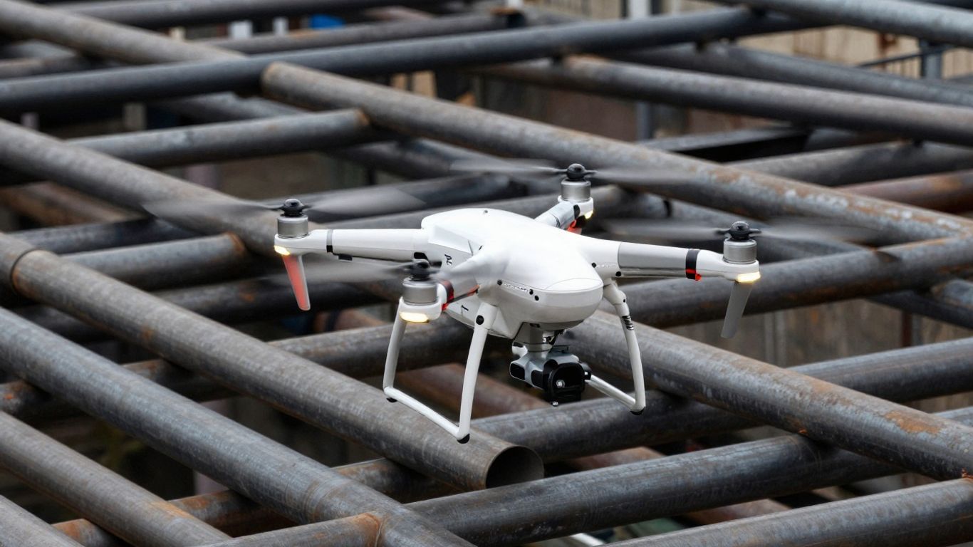
The intelligence behind every flight is what distinguishes this platform from traditional manual systems. By leveraging complex algorithms, the drone maintains stable flight geometry in chaotic air while reducing the physical strain on the operator.
Obstacle avoidance in complex geometries
Collision detection is active across all directions, allowing the system to naturally navigate around pillars, wires, or heavy machinery. This capability minimizes the risk of accidental contact, even in environments where visual feedback might be temporarily lost due to distance or poor visibility.
Precision navigation in GPS-denied environments
When satellite connectivity fails, the platform relies on advanced vision-based orientation to track its position relative to the takeoff point. This ensures that the system can always return home, even in deep canyons or steel-structured industrial settings, by calculating its path using stored spatial reference points.
AI-driven target tracking and identification
Target tracking functions allow the drone to follow objects of interest automatically, regardless of movement patterns or speed. This AI functionality assists analysts by maintaining steady focus on a subject without requiring the pilot to make manual joystick corrections, providing a polished, professional output for intelligence review.
Data security and sovereign operations
Security is embedded into the core architecture to protect sensitive intelligence from unauthorized access or interception. This includes strict adherence to established protocols that govern how information is stored and transmitted across secure channels during mission execution.
End-to-end encryption standards
Data transmitted between the drone, the handheld controller, and any ground stations is protected by industry-grade encryption. This ensures that even if interception occurs, the internal data packets remain unintelligible to external parties.
On-premise versus cloud data management
Agencies can choose between local storage for air-gapped operations or cloud-based data management for collaborative environments. This choice depends on the specific security clearance and operational connectivity requirements of the mission at hand.
Compliance with government security directives
All organizational directives must be followed to ensure the hardware meets current standards, including Blue UAS standards for government-approved components. By maintaining compliance, agencies avoid procurement bottlenecks and ensure their systems are vetted for high-security, sensitive applications.
Maintenance and fleet management best practices
Proactive maintenance is vital for ensuring longevity and operational readiness. Even the most capable unmanned flight platforms require scheduled inspection cycles to maintain performance integrity through long-term service life.
Battery health and cycle optimization
Lithium-ion battery packs should undergo periodic checks to ensure internal cell voltage remains balanced. Following manufacturer-recommended storage practices, such as draining charge to 50% for extended non-use, dramatically extends the total life of the power system.
Firmware update scheduling and validation
Before launching a fleet-wide update, run a validation test on a single system to ensure compatibility with existing ground control software. Regular updates are critical, but they should always be implemented during non-operational hours to guarantee that no mission-critical windows are compromised.
Managing multi-pilot squadron workflows
Managing multiple drones requires detailed logs of flight hours and equipment status. Using a centralized management software allows supervisors to track when specific drones need inspection, calibration, or module replacement, ensuring that the squadron remains flight-ready at all times.
Conclusion
The X10D Skydio platform embodies the modern evolution of tactical reconnaissance by prioritizing autonomous flight and reliable performance in the most contested environments. Its modular sensor capabilities and robust onboard intelligence allow public safety and defense stakeholders to conduct missions with confidence, knowing their platform is built for resilience and data accuracy. By combining intuitive field deployment with stringent security compliance, it offers an essential foundation for the future of aerial intelligence.
Frequently Asked Questions
What are the primary benefits of autonomous navigation for tactical drones?
Autonomous navigation allows the system to maintain flight stability and obstacle avoidance in environments where manual control could lead to collisions or pilot error. This reduces the cognitive burden on the operator and permits the drone to complete complex search or inspection missions with higher consistency.
How does electronic warfare resilience impact drone mission performance?
Resilience against electronic interference ensures that the communication link between the drone and operator stays active even in the presence of signal jamming. This stability is critical for continuing a mission in regions where unauthorized frequency manipulation is a persistent threat.
Why is modular payload capacity important for specialized field operations?
Modularity allows a single drone to perform multiple roles, from thermal detection to high-resolution mapping, simply by swapping the optical payload. This efficiency reduces the number of separate pieces of equipment a team must carry, increasing speed and deployment agility.
What precautions ensure data remains secure during long-range operations?
Data security is maintained through high-level encryption of transmission signals and the use of authenticated control pathways. Secure storage options, whether local or on-premise, further prevent data leaks by ensuring sensitive intelligence does not exit authorized local infrastructure.
How does IP55 certification affect the environmental durability of a drone?
An IP55 rating indicates that the system is protected against particulate matter like dust and can withstand low-pressure water jets from any direction. This allows the equipment to function reliably in unpredictable weather conditions common during emergency response activities.
What role does artificial intelligence play in object tracking and target identification?
Artificial intelligence automates the detection and locking of objects of interest in the camera frame, providing a consistent view for the monitor. This allows the drone to follow targets reliably throughout a movement pattern, removing the need for constant, jittery manual adjustments by the pilot.
What are the best practices for managing firmware updates across a drone fleet?
Firmware should be managed by centralizing validation protocols, ensuring each update is tested for bugs or compatibility issues on a small set of hardware before full deployment. This avoids potential system downtime that could occur if a widespread issue is introduced throughout the fleet while it is needed for active operations.